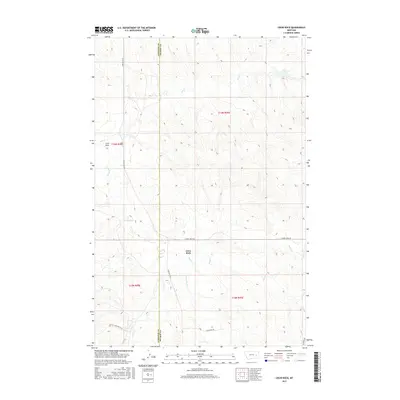
2017 Map of Crow Rock
USGS Topo · Published 2017About this map
The high plains landscape of Crow Rock is defined by a dendritic network of intermittent drainages cutting through the eastern Montana terrain. This 2017 survey by the U.S. Geological Survey shows a sparsely populated region where the county line between Garfield and Prairie counties bisects the map north-to-south. The area's geography is dominated by watercourses such as Ash Creek, Whites Creek, and Crow Rock Creek, which carve out the subtle relief of the ranching country. Human impact is primarily reflected in the road network, with naming conventions that suggest a more difficult past, including Dead Mans Road and Little Choke Butte Road. Long thoroughfares like Crow Rock Road and Cherry Creek Road serve as the primary lifelines through this expansive open territory.
Find a feature on this map
17 named features on this map. Tap any name to fly to it.
Don’t see what you’re looking for? This feature index may not catch every label — zoom into the map to look around manually.
Map Details
Editions of this 2017 Crow Rock Map
This is the sole edition of this map. No revisions or reprints were ever made.
Other maps of this area

1953 · Miles City
USGS Topo · 1:250,000

1954 · Jordan
USGS Topo · 1:250,000

1954 · Forsyth
USGS Topo · 1:250,000

1954 · Glendive
USGS Topo · 1:250,000

1956 · Jordan
USGS Topo · 1:250,000

1957 · Miles City
USGS Topo · 1:250,000

1957 · Glendive
USGS Topo · 1:250,000

1957 · Forsyth
USGS Topo · 1:250,000

1958 · Miles City
USGS Topo · 1:250,000

1958 · Jordan
USGS Topo · 1:250,000