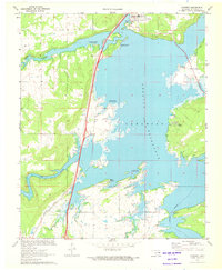
1971 Map of Crowder
USGS Topo · Published 1972About this map
Crowder and the surrounding shoreline of the Eufaula Canadian Reservoir dominate this 1971 topographic view, capturing a landscape defined by water and transit. The Missouri Kansas Texas railroad and highway corridor bisect the terrain, providing a high-speed transit spine through a region of complex inlets and recreation areas. Small rural settlements like Bug Tussle and Reams are situated near the fingers of the reservoir, illustrating the integration of local life with the large-scale water project completed only years prior.
Find a feature on this map
25 named features on this map. Tap any name to fly to it.
Don’t see what you’re looking for? This feature index may not catch every label — zoom into the map to look around manually.
Map Details
Editions of this 1971 Crowder Map
2 editions found
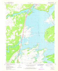
Other maps of this area

1898 · McAlester
USGS Topo · 1:125,000

1900 · Canadian
USGS Topo · 1:125,000

1909 · Mc Alester
USGS Topo · 1:125,000

1946 · Fort Smith
USGS Topo · 1:250,000

1950 · Mcalester
USGS Topo · 1:250,000

1962 · McAlester
USGS Topo · 1:250,000

1965 · Fort Smith
USGS Topo · 1:250,000

1965 · McAlester
USGS Topo · 1:250,000

1967 · Fort Smith
USGS Topo · 1:250,000

1967 · Krebs
USGS Topo · 1:24,000