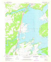
1971 Map of Crowder
USGS Topo · Published 1978About this map
Eufaula Lake dominates the eastern half of this landscape, its complex shoreline defining the character of the region following the impoundment of the Canadian River. The town of Crowder sits at the northern edge, served by the Missouri Kansas Texas railroad line that cuts a straight path south through the center of the sheet. This transportation corridor passes through smaller settlements such as Reams and near Mekko, illustrating the traditional rail-and-road dependency of Pittsburg County communities. The map highlights a transition from water-based recreation at sites like Cardinal Point and Juniper Point to the agricultural and creek-cut terrain of the west. Notable for genealogists is the presence of Massey Cem and the uniquely named settlement of Bug Tussle, providing a detailed look at the local geography of the early 1970s.
Find a feature on this map
21 named features on this map. Tap any name to fly to it.
Don’t see what you’re looking for? This feature index may not catch every label — zoom into the map to look around manually.
Map Details
Editions of this 1971 Crowder Map
2 editions found
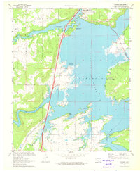
Other maps of this area

1898 · McAlester
USGS Topo · 1:125,000

1900 · Canadian
USGS Topo · 1:125,000

1909 · Mc Alester
USGS Topo · 1:125,000

1946 · Fort Smith
USGS Topo · 1:250,000

1950 · Mcalester
USGS Topo · 1:250,000

1962 · McAlester
USGS Topo · 1:250,000

1965 · Fort Smith
USGS Topo · 1:250,000

1965 · McAlester
USGS Topo · 1:250,000

1967 · Fort Smith
USGS Topo · 1:250,000

1967 · Krebs
USGS Topo · 1:24,000