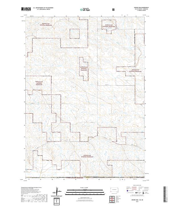
2021 Map of Crowe Dam
USGS Topo · Published 2021About this map
The Buffalo Gap National Grassland dominates this South Dakota terrain, illustrating the wide-open ranching and conservation landscapes of the High Plains. This 2021 survey documents the remote southwestern corner of the state where Fall River Co meets the Nebraska border. The map traces the intermittent drainage patterns typical of this arid region, including Coal Cr, Duck Cr, and Indian Cr, which cut through the public lands.
Find a feature on this map
19 named features on this map. Tap any name to fly to it.
Don’t see what you’re looking for? This feature index may not catch every label — zoom into the map to look around manually.
Map Details
Editions of this 2021 Crowe Dam Map
This is the sole edition of this map. No revisions or reprints were ever made.
Other maps of this area

1902 · Edgemont
USGS Topo · 1:125,000

1950 · Rumford
USGS Topo · 1:24,000

1955 · Hot Springs
USGS Topo · 1:250,000

1955 · Alliance
USGS Topo · 1:250,000

1957 · Alliance
USGS Topo · 1:250,000

1958 · Alliance
USGS Topo · 1:250,000

1980 · Montrose
USGS Topo · 1:24,000
1980 · Story
USGS Topo · 1:24,000
1980 · Story NE
USGS Topo · 1:24,000
1982 · Crowe Dam
USGS Topo · 1:25,000