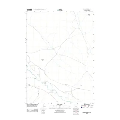
2012 Map of Crowheart Butte
USGS Topo · Published 2012About this map
Crowheart Butte and Teapot Butte dominate this Fremont County landscape, rising above a network of seasonal drainages and river valleys. The Wind River meanders across the lower portion of the map, carving a wide path that receives numerous tributaries including Cleveland Draw, Little Sand Draw, and Sand Draw. Further east, the landscape is defined by the extensive Dry Cr system and Ega Draw, illustrating the complex erosional patterns typical of the Wyoming interior.
Find a feature on this map
11 named features on this map. Tap any name to fly to it.
Don’t see what you’re looking for? This feature index may not catch every label — zoom into the map to look around manually.
Map Details
Editions of this 2012 Crowheart Butte Map
This is the sole edition of this map. No revisions or reprints were ever made.
Other maps of this area

1951 · Lookout Butte SW
USGS Topo · 1:24,000

1951 · Bull Lake East
USGS Topo · 1:24,000

1951 · Argo Butte
USGS Topo · 1:24,000

1951 · Maverick Spring
USGS Topo · 1:24,000

1952 · Crowheart Butte
USGS Topo · 1:24,000

1952 · Crowheart NW
USGS Topo · 1:24,000

1952 · Crowheart NE
USGS Topo · 1:24,000

1952 · Bull Lake West
USGS Topo · 1:24,000

1952 · Crowheart
USGS Topo · 1:24,000

1955 · Thermopolis
USGS Topo · 1:250,000