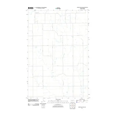
2011 Map of Crown Butte NW
USGS Topo · Published 2011About this map
Rosebud Cemetery sits in the northwest corner of this agricultural landscape in Morton County, providing a primary point of reference for family historians and local researchers. The terrain is defined by the drainage patterns of Otter Creek, which winds through the eastern portion of the quadrangle. This 2011 survey illustrates the rural section line grid that organizes the North Dakota prairie, with long stretches of gravel and paved roads such as 31st St NW and County Rd 83 connecting dispersed farmsteads. The map documents the persistent agricultural footprint of the region, showing how the natural coulees and watercourses of the Missouri Plateau dictate the placement of local infrastructure and land use boundaries.
Find a feature on this map
22 named features on this map. Tap any name to fly to it.
Don’t see what you’re looking for? This feature index may not catch every label — zoom into the map to look around manually.
Map Details
Editions of this 2011 Crown Butte NW Map
This is the sole edition of this map. No revisions or reprints were ever made.
Other maps of this area

1954 · Bismarck
USGS Topo · 1:250,000

1954 · McClusky
USGS Topo · 1:250,000

1958 · Bismarck
USGS Topo · 1:250,000

1958 · McClusky
USGS Topo · 1:250,000

1970 · Judson
USGS Topo · 1:24,000

1970 · New Salem NE
USGS Topo · 1:24,000

1972 · Sweet Briar
USGS Topo · 1:24,000

1972 · Center
USGS Topo · 1:24,000

1972 · Crown Butte Lake
USGS Topo · 1:24,000

1972 · Crown Butte NW
USGS Topo · 1:24,000