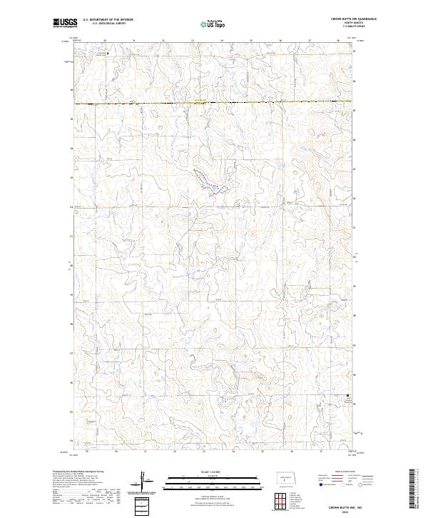
2024 Map of Crown Butte NW
USGS Topo · Published 2024About this map
The border between Oliver Co and Morton Co runs horizontally across this North Dakota prairie landscape, marking a quiet agricultural region defined by a precise section-line road grid. The terrain is characterized by the soft undulations of the Missouri Plateau, where small wetlands and ephemeral drainages weave between the elevated flats. Cultural landmarks are sparse but significant for genealogical research, anchored by the Rosebud Catholic Cem in the northwest and Saint Vincent Church Ce in the southeast. These sites, along with the network of rural routes like Co Rd 140 and 34th ST, reflect the enduring pattern of settlement and community life in this portion of the Great Plains. The map provides a clear record of the modern rural infrastructure, showing how family farms are linked by a system of gravel and dirt roads that have followed the same section boundaries for over a century.
Find a feature on this map
14 named features on this map. Tap any name to fly to it.
Don’t see what you’re looking for? This feature index may not catch every label — zoom into the map to look around manually.
Map Details
Editions of this 2024 Crown Butte NW Map
This is the sole edition of this map. No revisions or reprints were ever made.
Other maps of this area

1954 · Bismarck
USGS Topo · 1:250,000

1954 · McClusky
USGS Topo · 1:250,000

1958 · Bismarck
USGS Topo · 1:250,000

1958 · McClusky
USGS Topo · 1:250,000

1970 · Judson
USGS Topo · 1:24,000

1970 · New Salem NE
USGS Topo · 1:24,000

1972 · Sweet Briar
USGS Topo · 1:24,000

1972 · Center
USGS Topo · 1:24,000

1972 · Crown Butte Lake
USGS Topo · 1:24,000

1972 · Crown Butte NW
USGS Topo · 1:24,000