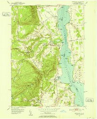
1950 Map of Crown Point
USGS Topo · Published 1952About this map
Lake Champlain serves as the focal point of this 1950s landscape, marking the border between New York and Vermont. On the New York shore, the rugged topography of Adirondack State Park rises sharply from the water, dominated by Bulwagga Mountain and Buck Mountain. The settlement of Crown Point serves as a local hub, situated near the Delaware and Hudson railroad line that tracks the shoreline. Evidence of local industry and community life is visible in the presence of the Fish Hatchery, Champlain Speedway, and an inactive Spar Mine near Miller Mountain.
Find a feature on this map
59 named features on this map. Tap any name to fly to it.
Don’t see what you’re looking for? This feature index may not catch every label — zoom into the map to look around manually.
Map Details
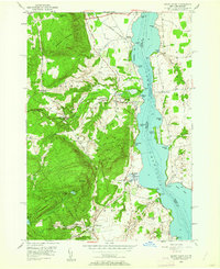
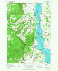
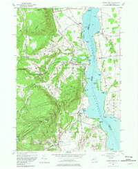
Editions of this 1950 Crown Point Map
4 editions found
Other maps of this area

1894 · Elizabethtown
USGS Topo · 1:62,500

1894 · Port Henry
USGS Topo · 1:62,500

1894 · Ticonderoga
USGS Topo · 1:62,500

1895 · Elizabethtown
USGS Topo · 1:62,500

1895 · Paradox Lake
USGS Topo · 1:62,500

1896 · Ticonderoga
USGS Topo · 1:62,500

1897 · Paradox Lake
USGS Topo · 1:62,500

1898 · Port Henry
USGS Topo · 1:62,500

1901 · Elizabethtown
USGS Topo · 1:62,500

1902 · Ticonderoga
USGS Topo · 1:62,500