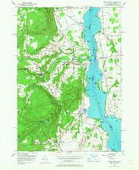
1950 Map of Crown Point
USGS Topo · Published 1968About this map
Lake Champlain serves as the focal point for this mid-century survey, dividing the mountainous terrain of the Adirondack State Park in New York from the shoreline of Vermont. The landscape is defined by its steep elevations, such as Bulwagga Mountain and Buck Mountain, which contrast with the active transportation and utility corridors hugging the lake. The presence of the Delaware and Hudson railroad and landmarks like the Champlain Speedway and Ticonderoga Airport reflect a transition into a more modernized regional infrastructure during the early 1950s.
Find a feature on this map
62 named features on this map. Tap any name to fly to it.
Don’t see what you’re looking for? This feature index may not catch every label — zoom into the map to look around manually.
Map Details
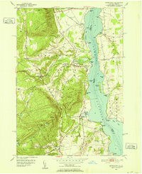
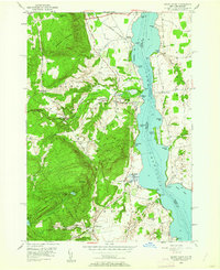
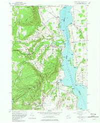
Editions of this 1950 Crown Point Map
4 editions found
Other maps of this area

1894 · Elizabethtown
USGS Topo · 1:62,500

1894 · Port Henry
USGS Topo · 1:62,500

1894 · Ticonderoga
USGS Topo · 1:62,500

1895 · Elizabethtown
USGS Topo · 1:62,500

1895 · Paradox Lake
USGS Topo · 1:62,500

1896 · Ticonderoga
USGS Topo · 1:62,500

1897 · Paradox Lake
USGS Topo · 1:62,500

1898 · Port Henry
USGS Topo · 1:62,500

1901 · Elizabethtown
USGS Topo · 1:62,500

1902 · Ticonderoga
USGS Topo · 1:62,500