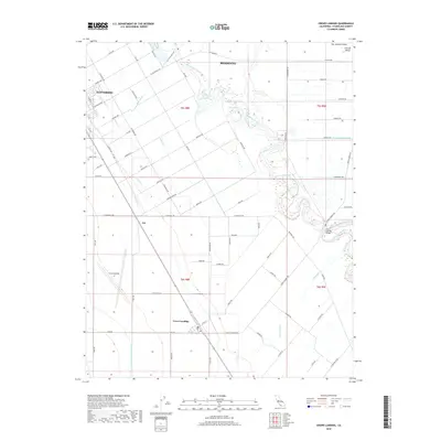
2018 Map of Crows Landing
USGS Topo · Published 2018About this map
Crows Landing sits at the heart of a highly structured agricultural landscape in the San Joaquin Valley, where the geometry of irrigation canals and local roads defines the terrain. The map traces the winding course of the San Joaquin River as it meanders past Pear Slough and under the Crows Landing Bridge. To the northwest, the outskirts of Patterson and Modesto appear, while the Delta-Mendota Canal cuts a straight line through the valley floor. The extensive network of named laterals, such as Lateral Three N and Lateral G, illustrates the complex water management system essential to this region. Small settlements like Jet and Central Valley punctuate the grid of orchards and fields, connected by a dense web of avenues named for the local flora, including Apricot Ave and Sycamore Ave.
Find a feature on this map
81 named features on this map. Tap any name to fly to it.
Don’t see what you’re looking for? This feature index may not catch every label — zoom into the map to look around manually.
Map Details
Editions of this 2018 Crows Landing Map
This is the sole edition of this map. No revisions or reprints were ever made.
Other maps of this area

1915 · Westport
USGS Topo · 1:31,680

1915 · Westley
USGS Topo · 1:31,680

1916 · Mitchell School
USGS Topo · 1:31,680

1916 · Crows Landing
USGS Topo · 1:31,680

1916 · Patterson
USGS Topo · 1:31,680

1916 · Ceres
USGS Topo · 1:31,680

1917 · Newman
USGS Topo · 1:31,680

1918 · Gustine
USGS Topo · 1:31,680

1919 · Orestimba
USGS Topo · 1:62,500

1919 · Orestimba Creek
USGS Topo · 1:31,680