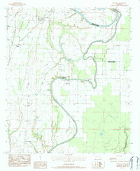
1983 Map of Crowville
USGS Topo · Published 1984About this map
Bayou Macon snakes through the landscape, defining the boundary between Franklin and Madison Parishes. This 1980s landscape is characterized by a dense network of secondary waterways and low-lying areas like Womble Brake, Howell Brake, and Hollywood Lake. The map reveals a community deeply rooted in its local institutions, evidenced by the numerous country churches such as Crockett Point Ch, New Hope Ch, and Jesus Name Ch.
Find a feature on this map
38 named features on this map. Tap any name to fly to it.
Don’t see what you’re looking for? This feature index may not catch every label — zoom into the map to look around manually.
Map Details
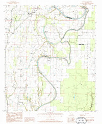
Editions of this 1983 Crowville Map
2 editions found
Other maps of this area

1935 · Winnsboro
USGS Topo · 1:62,500

1935 · Baskinton
USGS Topo · 1:62,500

1935 · Waverly
USGS Topo · 1:62,500

1935 · Shackleford Lake
USGS Topo · 1:62,500

1955 · Jackson
USGS Topo · 1:250,000

1958 · Baskinton
USGS Topo · 1:62,500

1958 · Shackleford Lake
USGS Topo · 1:62,500

1958 · Winnsboro
USGS Topo · 1:62,500

1961 · Jackson
USGS Topo · 1:250,000

1961 · Waverly
USGS Topo · 1:62,500