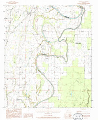
1983 Map of Crowville
USGS Topo · Published 1986About this map
Bayou Macon snakes through this landscape, defining the winding boundary between Madison Parish and Franklin Parish in the early 1980s. The settlement of Crowville serves as a local hub, featuring the Masonic Cem and the Collier Flying Service Landing Strip nearby. Further south, the map documents a transition from agricultural fields to the intricate wetlands of Womble Brake and Howell Brake.
Find a feature on this map
36 named features on this map. Tap any name to fly to it.
Don’t see what you’re looking for? This feature index may not catch every label — zoom into the map to look around manually.
Map Details
Editions of this 1983 Crowville Map
2 editions found
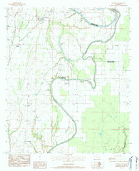
Other maps of this area

1935 · Winnsboro
USGS Topo · 1:62,500

1935 · Baskinton
USGS Topo · 1:62,500

1935 · Waverly
USGS Topo · 1:62,500

1935 · Shackleford Lake
USGS Topo · 1:62,500

1955 · Jackson
USGS Topo · 1:250,000

1958 · Baskinton
USGS Topo · 1:62,500

1958 · Shackleford Lake
USGS Topo · 1:62,500

1958 · Winnsboro
USGS Topo · 1:62,500

1961 · Jackson
USGS Topo · 1:250,000

1961 · Waverly
USGS Topo · 1:62,500