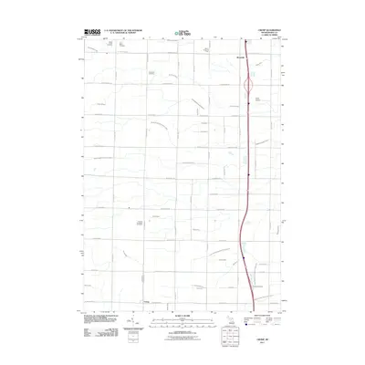
2011 Map of Crump
USGS Topo · Published 2011About this map
Mount Forest Oil Field sits in the northern reaches of this Bay County landscape, a reminder of the subsurface resource extraction that shaped local industry. The terrain is defined by a dense network of agricultural and drainage infrastructure, with countless engineered waterways like South Branch Pinconning River, Willard Drain, and Crump Drain directing water across the low-lying plains toward the east. These drains follow a rigid grid, reflecting a highly managed rural environment where every mile is intersected by local routes such as N Garfield Rd and W Pinconning Rd.
Find a feature on this map
64 named features on this map. Tap any name to fly to it.
Don’t see what you’re looking for? This feature index may not catch every label — zoom into the map to look around manually.
Map Details
Editions of this 2011 Crump Map
This is the sole edition of this map. No revisions or reprints were ever made.
Other maps of this area

1916 · Bay City
USGS Topo · 1:62,500

1919 · Bay City
USGS Topo · 1:62,500

1943 · Bay City
USGS Topo · 1:62,500

1954 · Midland
USGS Topo · 1:250,000

1954 · Flint
USGS Topo · 1:250,000

1958 · Flint
USGS Topo · 1:250,000

1958 · Midland
USGS Topo · 1:250,000

1959 · Midland
USGS Topo · 1:250,000

1962 · Willard
USGS Topo · 1:24,000

1962 · Midland North
USGS Topo · 1:24,000