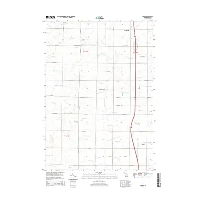
2014 Map of Crump
USGS Topo · Published 2014About this map
Garfield Township Cem and the settlement of Crump anchor the southern reaches of this Bay County survey, where the land is defined by a dense network of agricultural and municipal drainage. The landscape is intensely managed for water runoff, featuring an intricate system of channels like the Fraser Garfield Drain, Tebo Drain, and Uhlman Drain that feed into the larger Pinconning River and its branches. This complex water management pattern reflects the region's transition from forest to productive farmland.
Find a feature on this map
66 named features on this map. Tap any name to fly to it.
Don’t see what you’re looking for? This feature index may not catch every label — zoom into the map to look around manually.
Map Details
Editions of this 2014 Crump Map
This is the sole edition of this map. No revisions or reprints were ever made.
Other maps of this area

1916 · Bay City
USGS Topo · 1:62,500

1919 · Bay City
USGS Topo · 1:62,500

1943 · Bay City
USGS Topo · 1:62,500

1954 · Midland
USGS Topo · 1:250,000

1954 · Flint
USGS Topo · 1:250,000

1958 · Flint
USGS Topo · 1:250,000

1958 · Midland
USGS Topo · 1:250,000

1959 · Midland
USGS Topo · 1:250,000

1962 · Willard
USGS Topo · 1:24,000

1962 · Midland North
USGS Topo · 1:24,000