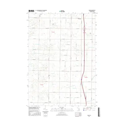
2017 Map of Crump
USGS Topo · Published 2017About this map
The settlement of Crump serves as a southern anchor for this agricultural landscape, where the grid-like road system is heavily influenced by a complex network of drainage infrastructure. This drainage system, including the Uhlman Drain, Crump Drain, and Willard Drain, reflects the intensive land management required in this portion of Bay County. Northward, the village of Woodville sits near the intersection of several local routes, while Gross Airport provides a small aviation footprint amidst the fields.
Find a feature on this map
74 named features on this map. Tap any name to fly to it.
Don’t see what you’re looking for? This feature index may not catch every label — zoom into the map to look around manually.
Map Details
Editions of this 2017 Crump Map
This is the sole edition of this map. No revisions or reprints were ever made.
Other maps of this area

1916 · Bay City
USGS Topo · 1:62,500

1919 · Bay City
USGS Topo · 1:62,500

1943 · Bay City
USGS Topo · 1:62,500

1954 · Midland
USGS Topo · 1:250,000

1954 · Flint
USGS Topo · 1:250,000

1958 · Flint
USGS Topo · 1:250,000

1958 · Midland
USGS Topo · 1:250,000

1959 · Midland
USGS Topo · 1:250,000

1962 · Willard
USGS Topo · 1:24,000

1962 · Midland North
USGS Topo · 1:24,000