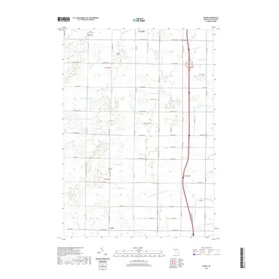
2019 Map of Crump
USGS Topo · Published 2019About this map
Pinconning River and its southern branch wind through this corner of Bay County, defining a landscape heavily shaped by agricultural drainage. The rural character of the region is punctuated by small settlements like Crump and Woodville, while a series of intricate man-made waterways such as Ryan Drain and Tebo Drain facilitate the area's farming economy. The presence of several community burial grounds, including Saint Marys Cem, Mount Forest Township Cem, and Forest Hill Cem, provides a map of the area's genealogical history and early settlement patterns.
Find a feature on this map
75 named features on this map. Tap any name to fly to it.
Don’t see what you’re looking for? This feature index may not catch every label — zoom into the map to look around manually.
Map Details
Editions of this 2019 Crump Map
This is the sole edition of this map. No revisions or reprints were ever made.
Other maps of this area

1916 · Bay City
USGS Topo · 1:62,500

1919 · Bay City
USGS Topo · 1:62,500

1943 · Bay City
USGS Topo · 1:62,500

1954 · Midland
USGS Topo · 1:250,000

1954 · Flint
USGS Topo · 1:250,000

1958 · Flint
USGS Topo · 1:250,000

1958 · Midland
USGS Topo · 1:250,000

1959 · Midland
USGS Topo · 1:250,000

1962 · Willard
USGS Topo · 1:24,000

1962 · Midland North
USGS Topo · 1:24,000