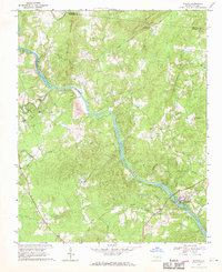
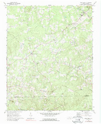
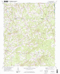
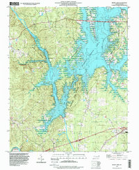
1974 Map of Crutchfield Crossroads
USGS Topo · Published 1976This historical map portrays the area of Crutchfield Crossroads in 1974, primarily covering Chatham County as well as portions of Alamance County. Featuring a scale of 1:24000, this map provides a highly detailed snapshot of the terrain, roads, buildings, counties, and historical landmarks in the Crutchfield Crossroads region at the time. Published in 1976, it is one of 2 known editions of this map due to revisions or reprints.
Find a feature on this map
27 named features on this map. Tap any name to fly to it.
Don’t see what you’re looking for? This feature index may not catch every label — zoom into the map to look around manually.
Map Details
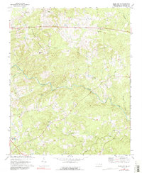
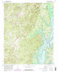
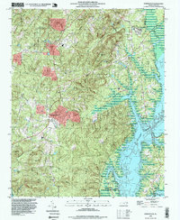
Editions of this 1974 Crutchfield Crossroads Map
2 editions found
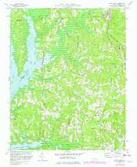
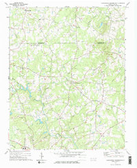
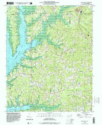
Historical Maps of Chatham County Through Time
12 maps found
1951 Farrington
Chatham County, NC
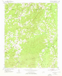
1968 Bynum
Chatham County, NC
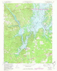
1969 Merry Oaks
Chatham County, NC
1970 Bear Creek
Chatham County, NC
1970 Siler City NE
Chatham County, NC
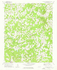
1973 Green Level
Chatham County, NC
1974 Crutchfield Crossroads
Chatham County, NC
1974 Silk Hope
Chatham County, NC
1978 Farrington
Chatham County, NC
1993 Farrington
Chatham County, NC
1993 Green Level
Chatham County, NC
1993 Merry Oaks
Chatham County, NC