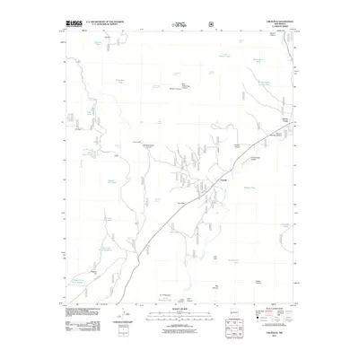
2011 Map of Cruzville
USGS Topo · Published 2011About this map
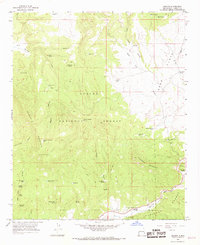
Cruzville and the Apache Creek settlement are the primary points of habitation along the winding course of the Tularosa River in this high-altitude corner of Catron County. The landscape is defined by its network of canyons and family-named landmarks, such as Jon S Mountain and the adjacent Jon S Flat. This area reflects a long-standing ranching tradition, evidenced by the Cross V Ranch and a sophisticated system of water management features necessary for sustaining livestock in this arid environment, including the Needlepark Tank, Big Flat Tank, and Wheeler Tank.
Find a feature on this map
49 named features on this map. Tap any name to fly to it.
Don’t see what you’re looking for? This feature index may not catch every label — zoom into the map to look around manually.
Map Details
Editions of this 2011 Cruzville Map
This is the sole edition of this map. No revisions or reprints were ever made.
Other maps of this area

1915 · Reserve
USGS Topo · 1:125,000

1918 · Reserve
USGS Topo · 1:125,000

1954 · Clifton
USGS Topo · 1:250,000

1957 · Clifton
USGS Topo · 1:250,000

1958 · Clifton
USGS Topo · 1:250,000

1962 · Clifton
USGS Topo · 1:250,000
1965 · Reserve
USGS Topo · 1:24,000
1965 · Milligan Mountain
USGS Topo · 1:24,000
1965 · Centerfire Bog
USGS Topo · 1:24,000
1965 · Aragon
USGS Topo · 1:24,000