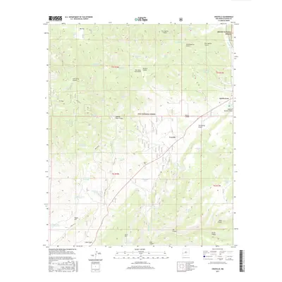
2017 Map of Cruzville
USGS Topo · Published 2017About this map
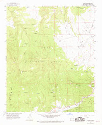
Cruzville and Apache Creek anchor this high-elevation landscape within the confluence of the Gila National Forest and Apache National Forest. The topography is defined by significant drainage systems including the Tularosa River and the deeply etched Largo Canyon and Deep Canyon. Local landmarks such as Jon S Mtn and Jon S Flat reflect the area’s historic land-use patterns, likely tied to early ranching and forestry. The prevalence of water management features, including Higgins Flat Tank Number 1, Rockheader Tank, and Needlepark Tank, highlights the essential infrastructure required for livestock and resource management in this arid environment. Forest access is facilitated by primitive routes like Forest Rd 49, connecting isolated clearings such as JTS Park and Big Flat to the main settlements.
Find a feature on this map
58 named features on this map. Tap any name to fly to it.
Don’t see what you’re looking for? This feature index may not catch every label — zoom into the map to look around manually.
Map Details
Editions of this 2017 Cruzville Map
This is the sole edition of this map. No revisions or reprints were ever made.
Other maps of this area

1915 · Reserve
USGS Topo · 1:125,000

1918 · Reserve
USGS Topo · 1:125,000

1954 · Clifton
USGS Topo · 1:250,000

1957 · Clifton
USGS Topo · 1:250,000

1958 · Clifton
USGS Topo · 1:250,000

1962 · Clifton
USGS Topo · 1:250,000
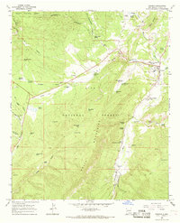
1965 · Reserve
USGS Topo · 1:24,000
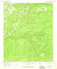
1965 · Milligan Mountain
USGS Topo · 1:24,000
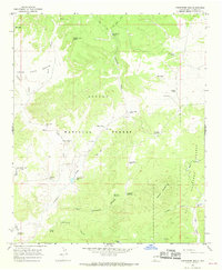
1965 · Centerfire Bog
USGS Topo · 1:24,000
1965 · Aragon
USGS Topo · 1:24,000