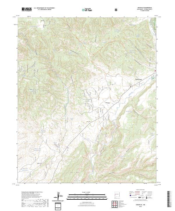
2023 Map of Cruzville
USGS Topo · Published 2023About this map
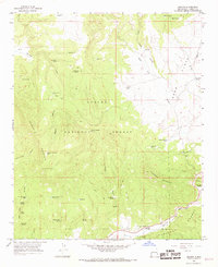
The Tularosa River flows through a landscape defined by the intersection of the Gila National Forest and the Apache National Forest in western New Mexico. This modern survey highlights the small communities of Cruzville and Apache Creek, where the local Apache Creek Cem serves as a primary genealogical landmark for the region. The map reveals a high density of water infrastructure essential for high-altitude ranching and forestry, including the Big Flat Tank, Needlepark Tank, and Mountain Lion Tank.
Find a feature on this map
59 named features on this map. Tap any name to fly to it.
Don’t see what you’re looking for? This feature index may not catch every label — zoom into the map to look around manually.
Map Details
Editions of this 2023 Cruzville Map
This is the sole edition of this map. No revisions or reprints were ever made.
Other maps of this area

1915 · Reserve
USGS Topo · 1:125,000

1918 · Reserve
USGS Topo · 1:125,000

1954 · Clifton
USGS Topo · 1:250,000

1957 · Clifton
USGS Topo · 1:250,000

1958 · Clifton
USGS Topo · 1:250,000

1962 · Clifton
USGS Topo · 1:250,000
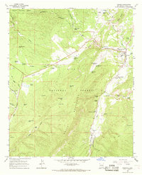
1965 · Reserve
USGS Topo · 1:24,000
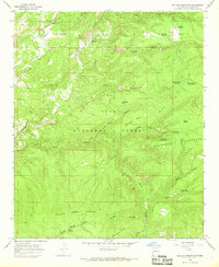
1965 · Milligan Mountain
USGS Topo · 1:24,000
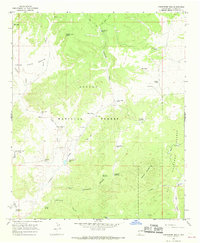
1965 · Centerfire Bog
USGS Topo · 1:24,000
1965 · Aragon
USGS Topo · 1:24,000