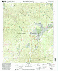
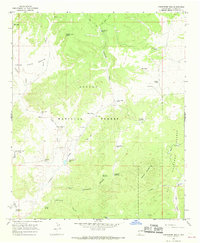
1999 Map of Cruzville
USGS Topo · Published 2002About this map
The Gila National Forest landscape near the close of the 20th century is defined by high-altitude ranching and the rugged watershed of the Tularosa River. The settlement at Cruzville serves as a primary point of interest, situated near a local Cem and the Quemado Ranger District lands. The topography is dominated by expansive flats and deep canyons, including Jon S Flat and Higgins Flat, which are punctuated by isolated water sources like Sawmill Well and Wild Olive Spring. These numerous named tanks and springs, such as Higgins Flat Tank No 2 and Jon S Tank, reveal the critical importance of water management for livestock in this arid environment. To the north, the confluence near Apache Creek and the presence of the Cross V Ranch further illustrate the region's enduring reliance on the land's natural drainage systems and historical grazing boundaries.
Find a feature on this map
63 named features on this map. Tap any name to fly to it.
Don’t see what you’re looking for? This feature index may not catch every label — zoom into the map to look around manually.
Map Details
Editions of this 1999 Cruzville Map
This is the sole edition of this map. No revisions or reprints were ever made.
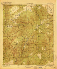
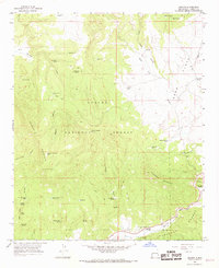
Other maps of this area

1915 · Reserve
USGS Topo · 1:125,000
1918 · Reserve
USGS Topo · 1:125,000

1954 · Clifton
USGS Topo · 1:250,000

1957 · Clifton
USGS Topo · 1:250,000

1958 · Clifton
USGS Topo · 1:250,000

1962 · Clifton
USGS Topo · 1:250,000
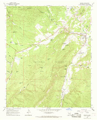
1965 · Reserve
USGS Topo · 1:24,000
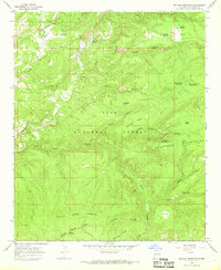
1965 · Milligan Mountain
USGS Topo · 1:24,000
1965 · Centerfire Bog
USGS Topo · 1:24,000
1965 · Aragon
USGS Topo · 1:24,000