
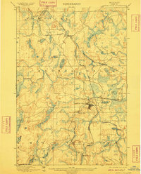
1899 Map of Crystal Falls
USGS Topo · Published 1899About this map
Iron mining and timber transport dominate this landscape in the upper peninsula, where the Crystal Falls townsite serves as a focal point for the regional rail network. The map reveals an industrial landscape defined by numerous spurs, including the Shafer Mine Branch and the R.R. Dunn Mine Branch, which connect the Shafer Mine and Mastodon Mine to the primary lines. This intricate web of the Chicago Milwaukee and St. Paul R.R. and the Chicago and Northwestern R.R. illustrates the logistical efforts required to extract resources from the Hematite and Mastodon districts during the late nineteenth century.
Find a feature on this map
45 named features on this map. Tap any name to fly to it.
Don’t see what you’re looking for? This feature index may not catch every label — zoom into the map to look around manually.
Map Details
Editions of this 1899 Crystal Falls Map
2 editions found
Other maps of this area

1895 · Ned Lake
USGS Topo · 1:62,500

1895 · Perch Lake
USGS Topo · 1:62,500

1898 · Iron River
USGS Topo · 1:62,500

1899 · Sagola
USGS Topo · 1:62,500

1899 · Witbeck
USGS Topo · 1:62,500

1939 · Long Lake
USGS Topo · 1:48,000

1939 · Iron Mountain
USGS Topo · 1:48,000

1941 · Florence
USGS Topo · 1:48,000

1941 · Iron Mountain
USGS Topo · 1:48,000

1944 · Crystal Falls
USGS Topo · 1:24,000