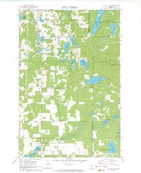
1970 Map of Crystal Lake
USGS Topo · Published 1972About this map
The Akeley township region in north-central Minnesota is defined by a dense network of glacial lakes and managed forest lands as recorded in 1970. The settlement of Akeley occupies the northern edge, bordered by Mud Lake and the Akeley Cem. To the south, the community of Chamberlain sits near the White Oak Cem, surrounded by the large parcels of the White Oak and Badoura districts. This landscape reflects the heavy influence of conservation and forestry management, with significant portions of the map dedicated to the Chippewa National Forest, Foot Hills State Forest, and Badoura State Forest.
Find a feature on this map
39 named features on this map. Tap any name to fly to it.
Don’t see what you’re looking for? This feature index may not catch every label — zoom into the map to look around manually.
Map Details
Editions of this 1970 Crystal Lake Map
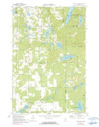
2 editions found
Other maps of this area

1953 · Brainerd
USGS Topo · 1:250,000

1954 · Bemidji
USGS Topo · 1:250,000

1957 · Brainerd
USGS Topo · 1:250,000

1957 · Bemidji
USGS Topo · 1:250,000

1958 · Bemidji
USGS Topo · 1:250,000

1958 · Brainerd
USGS Topo · 1:250,000

1965 · Brainerd
USGS Topo · 1:250,000

1970 · Backus
USGS Topo · 1:24,000

1970 · Hackensack
USGS Topo · 1:24,000

1970 · Nevis
USGS Topo · 1:24,000