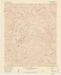
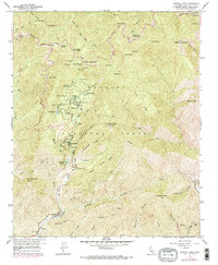
1958 Map of Crystal Lake
USGS Topo · Published 1960About this map
The Angeles National Forest dominates this 1958 survey, centered on the high-elevation basins and steep canyons of the San Gabriel Mountains. At the heart of the map, the Crystal Lake Recreation Area is a focal point for mid-century mountain recreation, featuring a public Outdoor Theater, the Crystal Lake Guard Station, and several campsites like West Pine Flat. Transport through this challenging terrain is defined by the Angeles Crest Highway, which winds past Dawson Saddle and through a series of tunnels as it skirts the northern ridges. This edition records significant infrastructure development with a long section of road marked under construction south of Crystal Lake. Notable peaks such as Mt. Baden-Powell and Mt. Islip define the skyline, while the drainage patterns of the North Fork San Gabriel River carve deep into the landscape below Bichota Mesa.
Find a feature on this map
73 named features on this map. Tap any name to fly to it.
Don’t see what you’re looking for? This feature index may not catch every label — zoom into the map to look around manually.
Map Details
Editions of this 1958 Crystal Lake Map
5 editions found
Other maps of this area

1894 · Pomona
USGS Topo · 1:62,500

1897 · Pomona
USGS Topo · 1:62,500

1897 · Cucamonga
USGS Topo · 1:62,500

1898 · Pomona
USGS Topo · 1:62,500

1900 · Cucamonga
USGS Topo · 1:62,500

1901 · Southern California Sheet No. 1
USGS Topo · 1:250,000

1903 · Rock Creek
USGS Topo · 1:62,500

1903 · Cucamonga
USGS Topo · 1:62,500

1903 · San Antonio
USGS Topo · 1:62,500

1904 · Pomona
USGS Topo · 1:62,500