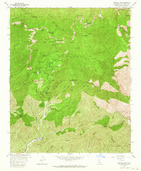
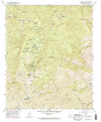
1958 Map of Crystal Lake
USGS Topo · Published 1964About this map
Crystal Lake Recreation Area serves as a focal point within the high-elevation terrain of the Angeles National Forest in this late 1950s record. The map documents an intensive development of recreational infrastructure, including the Crystal Lake Guard Sta, several campgrounds such as Deer Flat Campground, and a unique Outdoor Theater near the lake itself. This concentration of public space is connected by the winding Angeles Crest Highway, which traverses high ridges and saddles like Islip Saddle.
Find a feature on this map
70 named features on this map. Tap any name to fly to it.
Don’t see what you’re looking for? This feature index may not catch every label — zoom into the map to look around manually.
Map Details
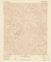
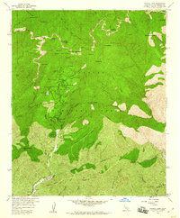
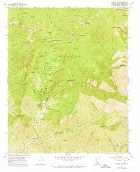
Editions of this 1958 Crystal Lake Map
5 editions found
Other maps of this area

1894 · Pomona
USGS Topo · 1:62,500

1897 · Pomona
USGS Topo · 1:62,500

1897 · Cucamonga
USGS Topo · 1:62,500

1898 · Pomona
USGS Topo · 1:62,500

1900 · Cucamonga
USGS Topo · 1:62,500

1901 · Southern California Sheet No. 1
USGS Topo · 1:250,000

1903 · Rock Creek
USGS Topo · 1:62,500

1903 · Cucamonga
USGS Topo · 1:62,500

1903 · San Antonio
USGS Topo · 1:62,500

1904 · Pomona
USGS Topo · 1:62,500