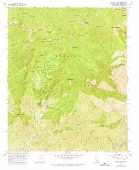
1958 Map of Crystal Lake
USGS Topo · Published 1974About this map
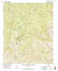
Crystal Lake Recreation Area serves as the focal point for this survey of the high San Gabriel Mountains, where the 1950s recreational footprint of the Angeles National Forest is clearly visible. The map details the network of remote facilities supporting early mountain tourism, including the Crystal Lake Guard Station, several campgrounds such as Deer Flat, and even an Outdoor Theater near the lake. The high-altitude terrain is dominated by peaks like Mt Baden-Powell and Mt Islip, which are linked by the winding Angeles Crest Highway. To the south, the drainage systems of the San Gabriel River and its North Fork carve deep canyons into the landscape, punctuated by isolated spots like Falling Springs and the administrative outpost at Coldbrook Guard Station.
Find a feature on this map
71 named features on this map. Tap any name to fly to it.
Don’t see what you’re looking for? This feature index may not catch every label — zoom into the map to look around manually.
Map Details
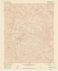
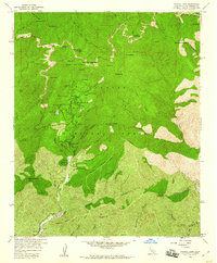
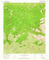
Editions of this 1958 Crystal Lake Map
5 editions found
Other maps of this area

1894 · Pomona
USGS Topo · 1:62,500

1897 · Pomona
USGS Topo · 1:62,500

1897 · Cucamonga
USGS Topo · 1:62,500

1898 · Pomona
USGS Topo · 1:62,500

1900 · Cucamonga
USGS Topo · 1:62,500

1901 · Southern California Sheet No. 1
USGS Topo · 1:250,000

1903 · Rock Creek
USGS Topo · 1:62,500

1903 · Cucamonga
USGS Topo · 1:62,500

1903 · San Antonio
USGS Topo · 1:62,500

1904 · Pomona
USGS Topo · 1:62,500