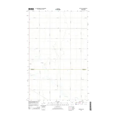
2014 Map of Crystal SE
USGS Topo · Published 2014About this map
Pembina Co and Walsh Co meet along a surveyed boundary line in this agricultural landscape of northeastern North Dakota. The terrain is defined by the winding course of the N Br Park River and the smaller drainage of Cart Cr, which carve subtle paths through the flat prairie. This 2014 survey documents the highly organized section-line road grid typical of the Red River Valley, where gravel and paved routes like ND-66 and ND-18 provide the primary infrastructure for the region's expansive farming operations. A distinctive local geographical feature known as The Coulee breaks the geometric regularity of the fields, illustrating how natural water drainage patterns continue to influence land use and property boundaries even in a heavily engineered rural environment.
Find a feature on this map
19 named features on this map. Tap any name to fly to it.
Don’t see what you’re looking for? This feature index may not catch every label — zoom into the map to look around manually.
Map Details
Editions of this 2014 Crystal SE Map
This is the sole edition of this map. No revisions or reprints were ever made.
Other maps of this area

1939 · Glasston
USGS Topo · 1:62,500

1941 · Glasston
USGS Topo · 1:62,500

1943 · Grafton
USGS Topo · 1:62,500

1944 · Crystal
USGS Topo · 1:62,500

1952 · Thief River Falls
USGS Topo · 1:250,000

1956 · Thief River Falls
USGS Topo · 1:250,000

1957 · Thief River Falls
USGS Topo · 1:250,000

1960 · Grafton
USGS Topo · 1:24,000

1963 · Crystal SE
USGS Topo · 1:24,000

1963 · Crystal
USGS Topo · 1:24,000