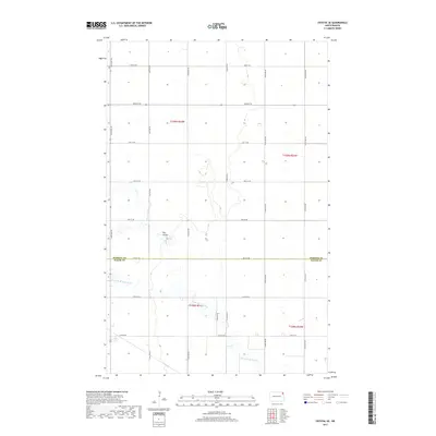
2017 Map of Crystal SE
USGS Topo · Published 2017About this map
North Br Park River meanders across this rural section of the Red River Valley, carving a low-relief path through the agricultural landscape. The terrain is defined by its rectilinear grid of section lines, where roads like 142nd Ave NE and 78th St NE serve as the primary conduits for local travel and transport. This particular area marks the jurisdictional transition at the Pembina Co and Walsh Co border, a significant line for local history and property research. Small, localized drainage features such as Cart Cr and The Coulee demonstrate the subtle but important water management patterns necessary for farming in this part of North Dakota. The map captures a moment of modern land management where the township and range system, seen in markers like t158n r54w, remains the dominant organizational force on the prairie.
Find a feature on this map
23 named features on this map. Tap any name to fly to it.
Don’t see what you’re looking for? This feature index may not catch every label — zoom into the map to look around manually.
Map Details
Editions of this 2017 Crystal SE Map
This is the sole edition of this map. No revisions or reprints were ever made.
Other maps of this area

1939 · Glasston
USGS Topo · 1:62,500

1941 · Glasston
USGS Topo · 1:62,500

1943 · Grafton
USGS Topo · 1:62,500

1944 · Crystal
USGS Topo · 1:62,500

1952 · Thief River Falls
USGS Topo · 1:250,000

1956 · Thief River Falls
USGS Topo · 1:250,000

1957 · Thief River Falls
USGS Topo · 1:250,000

1960 · Grafton
USGS Topo · 1:24,000

1963 · Crystal SE
USGS Topo · 1:24,000

1963 · Crystal
USGS Topo · 1:24,000