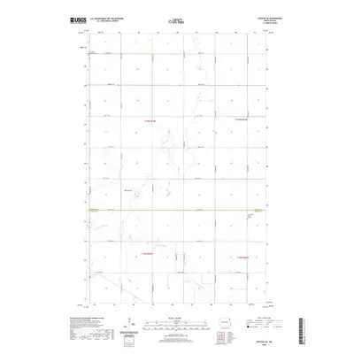
2020 Map of Crystal SE
USGS Topo · Published 2020About this map
Saint Johns Lutheran Cem sits near the northern boundary of this agricultural landscape where Pembina and Walsh counties meet. The region is defined by its rectilinear grid of section-line roads, including 140th Ave NE and 83rd St NE, which serve a scattered network of farmsteads. Waterways like The Coulee and Cart Cr cut across the flat prairie, while the meandering N Br Park River snakes through the southern sections. This survey provides a clear look at the rural cemetery locations essential for genealogical research, including the Farmington Burial Ground located east of the river's bend. The map reflects the enduring township and range system that has organized North Dakota's farming communities since the late nineteenth century.
Find a feature on this map
25 named features on this map. Tap any name to fly to it.
Don’t see what you’re looking for? This feature index may not catch every label — zoom into the map to look around manually.
Map Details
Editions of this 2020 Crystal SE Map
This is the sole edition of this map. No revisions or reprints were ever made.
Other maps of this area

1939 · Glasston
USGS Topo · 1:62,500

1941 · Glasston
USGS Topo · 1:62,500

1943 · Grafton
USGS Topo · 1:62,500

1944 · Crystal
USGS Topo · 1:62,500

1952 · Thief River Falls
USGS Topo · 1:250,000

1956 · Thief River Falls
USGS Topo · 1:250,000

1957 · Thief River Falls
USGS Topo · 1:250,000

1960 · Grafton
USGS Topo · 1:24,000

1963 · Crystal SE
USGS Topo · 1:24,000

1963 · Crystal
USGS Topo · 1:24,000