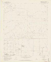
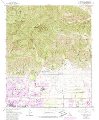
1966 Map of Cucamonga Peak
USGS Topo · Published 1968About this map
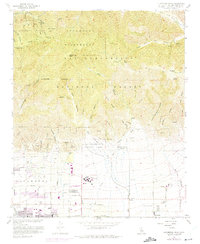
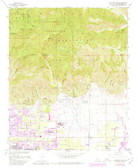
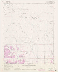
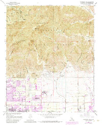
The high ridges of the Cucamonga Wilderness dominate this mid-century landscape, transitioning from the alpine heights of Cucamonga Peak and Ontario Peak down to the expanding citrus-belt communities of the Inland Empire. The southern portion of the map reveals the grid-like development of Alta Loma and Etiwanda, where residential streets meet the established agricultural infrastructure of the San Bernardino National Forest foothills. Educational landmarks like Chaffey Union Jr College and Summit Ave School serve as anchors for these growing neighborhoods.
Find a feature on this map
62 named features on this map. Tap any name to fly to it.
Don’t see what you’re looking for? This feature index may not catch every label — zoom into the map to look around manually.
Map Details
Editions of this 1966 Cucamonga Peak Map
9 editions found
Other maps of this area

1896 · San Bernardino
USGS Topo · 1:62,500

1897 · Cucamonga
USGS Topo · 1:62,500

1898 · San Bernardino
USGS Topo · 1:62,500

1900 · Cucamonga
USGS Topo · 1:62,500

1901 · Southern California Sheet No. 1
USGS Topo · 1:250,000

1901 · San Bernardino
USGS Topo · 1:62,500

1902 · Hesperia
USGS Topo · 1:62,500

1903 · Cucamonga
USGS Topo · 1:62,500

1903 · San Antonio
USGS Topo · 1:62,500

1904 · Southern California Sheet No. 1
USGS Topo · 1:250,000