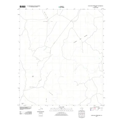
2010 Map of Cuesta Del Burro West
USGS Topo · Published 2010About this map
Needle Peak and Cathedral Peak dominate this high-desert landscape of Presidio County, providing sharp vertical relief against the surrounding plateaus. The terrain is defined by the massive ridge of the Cuesta Del Burro, which runs diagonally across the topography, while Cleveland Flat offers a rare expanse of level ground to the north. Seasonal drainage patterns are clearly etched into the earth, with Wild Horse Draw feeding into Wild Horse Creek and the springs of Ojo Bonito appearing in the eastern reaches.
Find a feature on this map
12 named features on this map. Tap any name to fly to it.
Don’t see what you’re looking for? This feature index may not catch every label — zoom into the map to look around manually.
Map Details
Editions of this 2010 Cuesta Del Burro West Map
This is the sole edition of this map. No revisions or reprints were ever made.
Other maps of this area

1895 · Marfa
USGS Topo · 1:125,000

1896 · Ruidosa
USGS Topo · 1:125,000

1896 · San Carlos
USGS Topo · 1:125,000

1896 · Shafter
USGS Topo · 1:125,000

1959 · Presidio
USGS Topo · 1:250,000

1959 · Marfa
USGS Topo · 1:250,000

1965 · Presidio
USGS Topo · 1:250,000

1965 · Marfa
USGS Topo · 1:250,000

1978 · Sierra Parda
USGS Topo · 1:24,000

1979 · Ruidosa Hot Springs
USGS Topo · 1:24,000