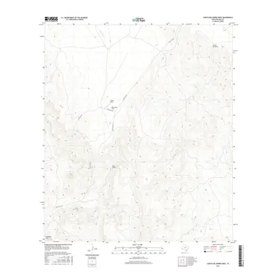
2016 Map of Cuesta Del Burro West
USGS Topo · Published 2016About this map
Cathedral Peak stands as a prominent landmark in this Presidio County landscape, where the terrain is defined by deep drainage systems and ranching infrastructure. The map details the drainage of Wild Horse Cr and the convergent paths of Capote Draw and Wild Horse Draw. These natural corridors dictate the layout of high-desert transportation, as seen with the positioning of Petan Ranch Rd and Ranch Rd 2810. To the south and east, the topography becomes increasingly complex as it descends into Pinto Canyon and climbs the steep elevations of the Cuesta del Burro. This survey provides a precise look at the isolation of West Texas ranch land, showing how access remains tied to established routes like Pinto Canyon Rd amidst the varied elevation changes of the Chinati mountains region.
Find a feature on this map
9 named features on this map. Tap any name to fly to it.
Don’t see what you’re looking for? This feature index may not catch every label — zoom into the map to look around manually.
Map Details
Editions of this 2016 Cuesta Del Burro West Map
This is the sole edition of this map. No revisions or reprints were ever made.
Other maps of this area

1895 · Marfa
USGS Topo · 1:125,000

1896 · Ruidosa
USGS Topo · 1:125,000

1896 · San Carlos
USGS Topo · 1:125,000

1896 · Shafter
USGS Topo · 1:125,000

1959 · Presidio
USGS Topo · 1:250,000

1959 · Marfa
USGS Topo · 1:250,000

1965 · Presidio
USGS Topo · 1:250,000

1965 · Marfa
USGS Topo · 1:250,000

1978 · Sierra Parda
USGS Topo · 1:24,000

1979 · Ruidosa Hot Springs
USGS Topo · 1:24,000