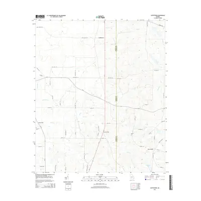
2014 Map of Cuffietown
USGS Topo · Published 2014About this map
The boundary between Worth Co and Turner Co bisects this rural landscape, which is defined by a dense network of meandering creeks and family-named roads. The settlement of Five Points serves as a local hub in the southeast, while the area near Cuffietown occupies the northern reaches of the quadrangle. Waterways like Abrams Cr, Gum Cr, and Jeter Cr drain the terrain toward the Little River, creating a complex hydrographic pattern across the countryside. Genealogists will find significant local landmarks including Red Oak Cem, Providence Cem, and Harmony Cem. A dense network of local routes, such as Jodie Hobby Rd, Son Story Rd, and Eric Alred Rd, reveals the established family footprints and property divisions that characterize this portion of Georgia's coastal plain.
Find a feature on this map
55 named features on this map. Tap any name to fly to it.
Don’t see what you’re looking for? This feature index may not catch every label — zoom into the map to look around manually.
Map Details
Editions of this 2014 Cuffietown Map
This is the sole edition of this map. No revisions or reprints were ever made.
Other maps of this area

1953 · Waycross
USGS Topo · 1:250,000

1956 · Sylvester
USGS Topo · 1:62,500

1958 · Waycross
USGS Topo · 1:250,000

1972 · Cuffietown
USGS Topo · 1:24,000

1973 · Sumner
USGS Topo · 1:24,000
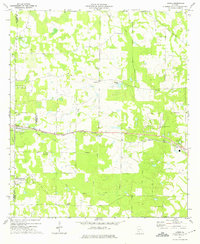
1973 · Acree
USGS Topo · 1:24,000

1973 · Sylvester
USGS Topo · 1:24,000
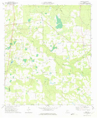
1973 · Doles
USGS Topo · 1:24,000

1973 · Ashburn
USGS Topo · 1:24,000
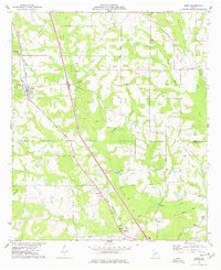
1977 · Arabi
USGS Topo · 1:24,000