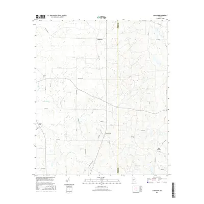
2017 Map of Cuffietown
USGS Topo · Published 2017About this map
Cuffietown and the nearby crossroads of Five Points anchor this rural landscape along the Worth and Turner county line. The terrain is defined by a dense network of watercourses, including Gum Cr, Abrams Cr, and the Little River, which drain toward Williams Lake in the southeast. This 2017 survey reflects the persistent rural character of the region, where family and community history are preserved at sites like Red Oak Cem, Providence Cem, and Harmony Cem.
Find a feature on this map
51 named features on this map. Tap any name to fly to it.
Don’t see what you’re looking for? This feature index may not catch every label — zoom into the map to look around manually.
Map Details
Editions of this 2017 Cuffietown Map
This is the sole edition of this map. No revisions or reprints were ever made.
Other maps of this area

1953 · Waycross
USGS Topo · 1:250,000

1956 · Sylvester
USGS Topo · 1:62,500

1958 · Waycross
USGS Topo · 1:250,000

1972 · Cuffietown
USGS Topo · 1:24,000

1973 · Sumner
USGS Topo · 1:24,000
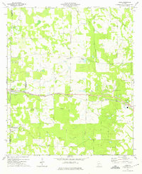
1973 · Acree
USGS Topo · 1:24,000

1973 · Sylvester
USGS Topo · 1:24,000
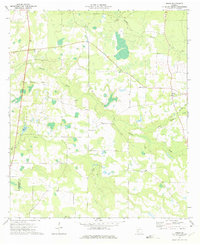
1973 · Doles
USGS Topo · 1:24,000

1973 · Ashburn
USGS Topo · 1:24,000
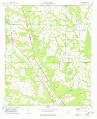
1977 · Arabi
USGS Topo · 1:24,000