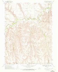
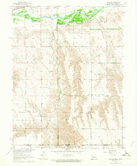
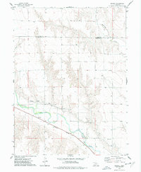
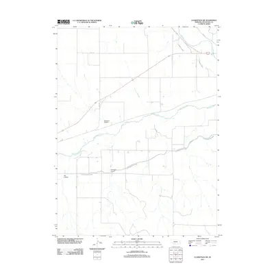
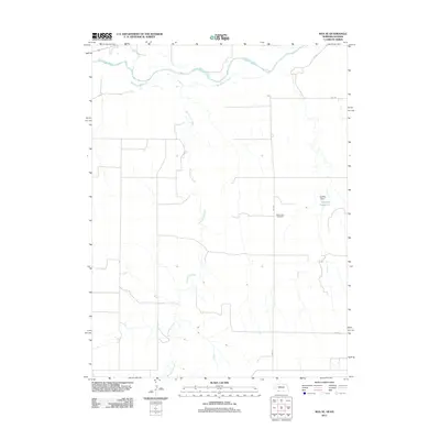
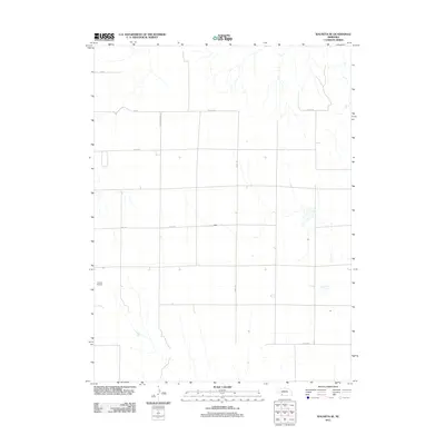
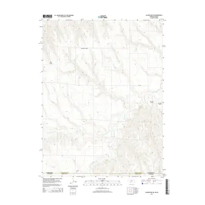
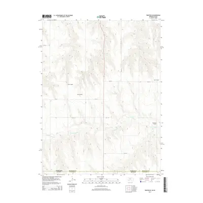
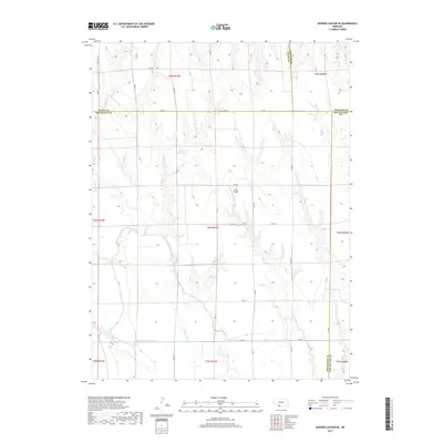
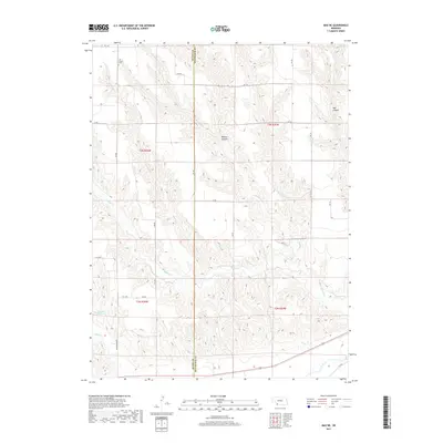
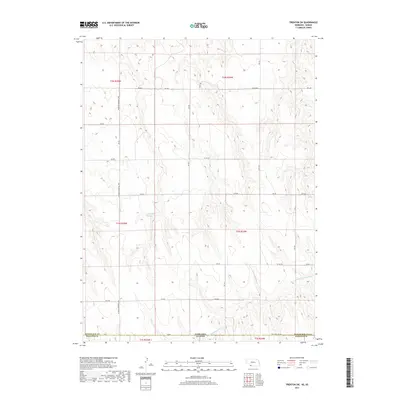
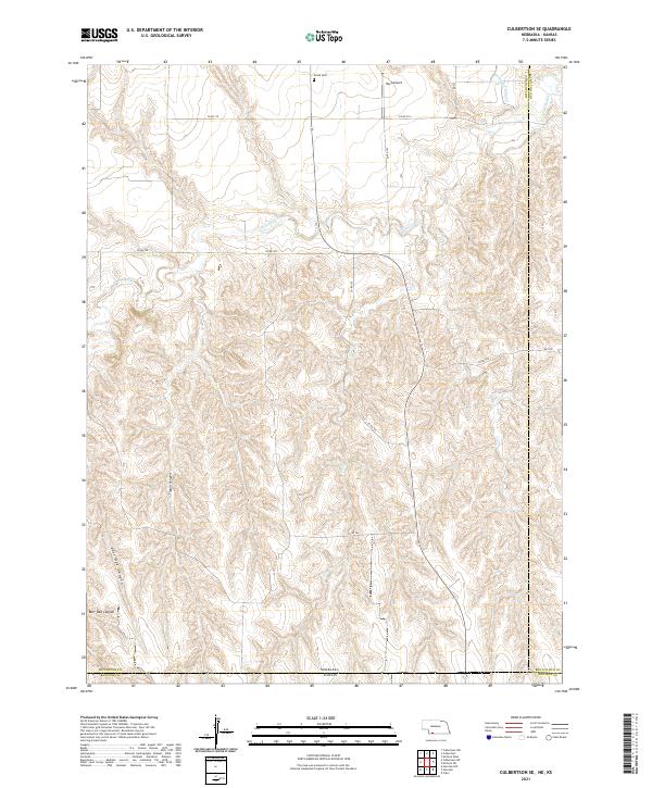
1970 Map of Culbertson SE
USGS Topo · Published 1972About this map
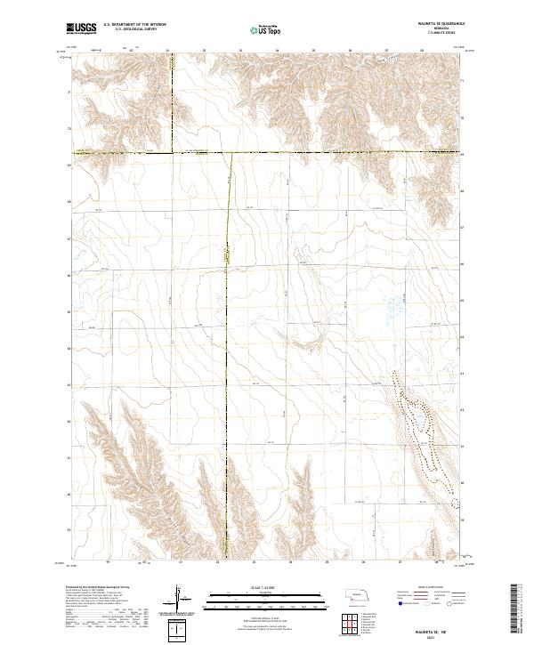
Driftwood Creek meanders deeply through the rural borderlands of Nebraska and Kansas, carving a winding path through the high plains. Surveyed in 1970, this landscape is defined by its drainage networks, where Elm Creek and Ledge Creek feed into the broader valley system. The area represents a transition from the agricultural uplands of Logan and Driftwood townships into the broken terrain of Tipton Canyon and East Oak Canyon.
Find a feature on this map
17 named features on this map. Tap any name to fly to it.
Don’t see what you’re looking for? This feature index may not catch every label — zoom into the map to look around manually.
Map Details
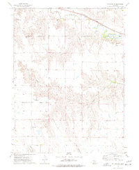
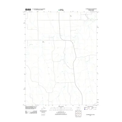
Editions of this 1970 Culbertson SE Map
This is the sole edition of this map. No revisions or reprints were ever made.
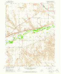
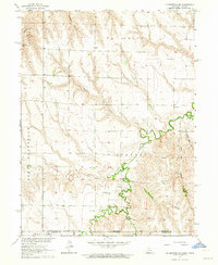
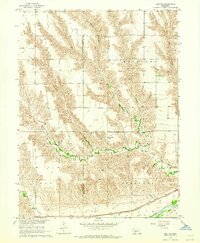
Historical Maps of Hitchcock County Through Time
55 maps found
1962 Culbertson NW
Hitchcock County, NE
1962 Culbertson SW
Hitchcock County, NE
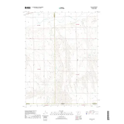
1962 Max NE
Hitchcock County, NE
1962 Max SE
Hitchcock County, NE
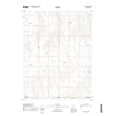
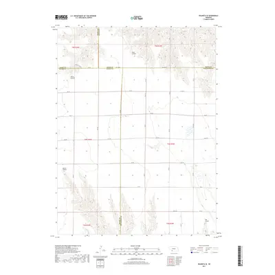
1962 Trenton SE
Hitchcock County, NE
1962 Trenton SW
Hitchcock County, NE
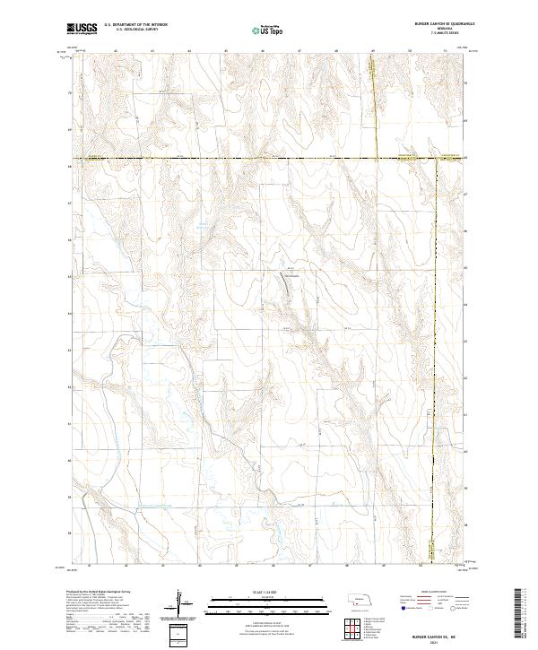
1970 Burger Canyon SE
Hitchcock County, NE
1970 Culbertson SE
Hitchcock County, NE
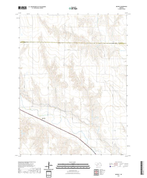
1973 Beverly
Hitchcock County, NE
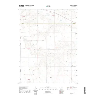
1973 Palisade SW
Hitchcock County, NE

1973 Wauneta SE
Hitchcock County, NE
2011 Beverly
Hitchcock County, NE
2011 Burger Canyon SE
Hitchcock County, NE
2011 Culbertson NW
Hitchcock County, NE
2011 Culbertson SE
Hitchcock County, NE
2011 Culbertson SW
Hitchcock County, NE
2011 Max NE
Hitchcock County, NE
2011 Max SE
Hitchcock County, NE
2011 Palisade SW
Hitchcock County, NE
2011 Trenton SE
Hitchcock County, NE
2011 Trenton SW
Hitchcock County, NE
2011 Wauneta SE
Hitchcock County, NE
2014 Beverly
Hitchcock County, NE
2014 Burger Canyon SE
Hitchcock County, NE

2014 Culbertson NW
Hitchcock County, NE
2014 Culbertson SE
Hitchcock County, NE
2014 Culbertson SW
Hitchcock County, NE
2014 Max NE
Hitchcock County, NE
2014 Max SE
Hitchcock County, NE
2014 Palisade SW
Hitchcock County, NE
2014 Trenton SE
Hitchcock County, NE
2014 Trenton SW
Hitchcock County, NE
2014 Wauneta SE
Hitchcock County, NE
2017 Beverly
Hitchcock County, NE
2017 Burger Canyon SE
Hitchcock County, NE
2017 Culbertson NW
Hitchcock County, NE
2017 Culbertson SE
Hitchcock County, NE
2017 Culbertson SW
Hitchcock County, NE
2017 Max NE
Hitchcock County, NE
2017 Max SE
Hitchcock County, NE
2017 Palisade SW
Hitchcock County, NE
2017 Trenton SE
Hitchcock County, NE
2017 Trenton SW
Hitchcock County, NE
2017 Wauneta SE
Hitchcock County, NE
2021 Beverly
Hitchcock County, NE
2021 Burger Canyon SE
Hitchcock County, NE
2021 Culbertson NW
Hitchcock County, NE
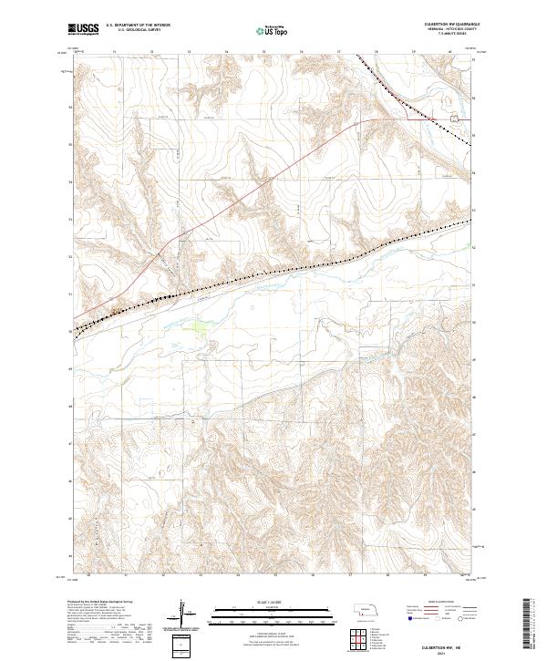
2021 Culbertson SE
Hitchcock County, NE
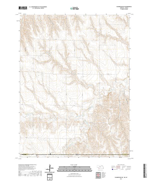
2021 Culbertson SW
Hitchcock County, NE
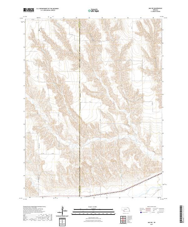
2021 Max NE
Hitchcock County, NE
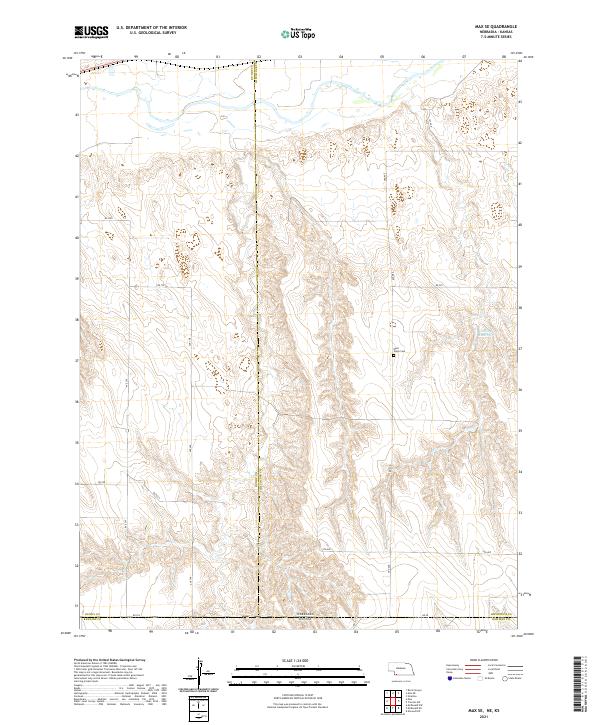
2021 Max SE
Hitchcock County, NE
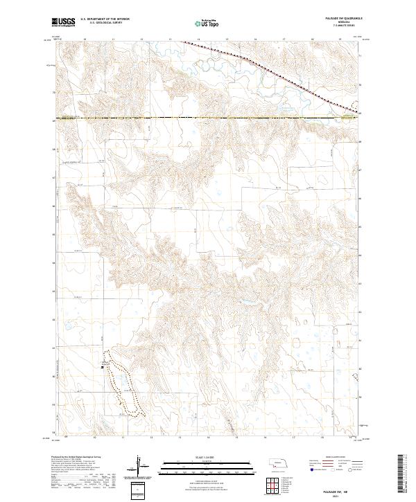
2021 Palisade SW
Hitchcock County, NE
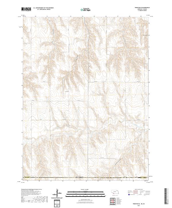
2021 Trenton SE
Hitchcock County, NE
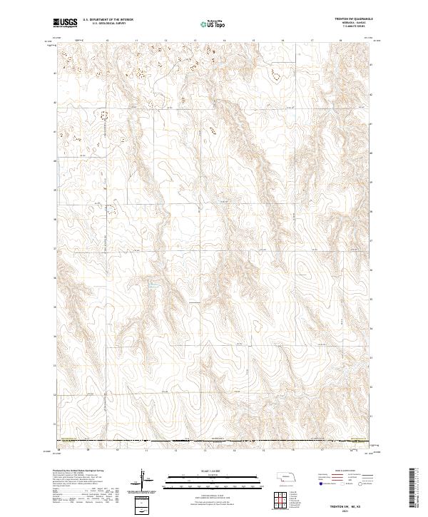
2021 Trenton SW
Hitchcock County, NE
2021 Wauneta SE
Hitchcock County, NE