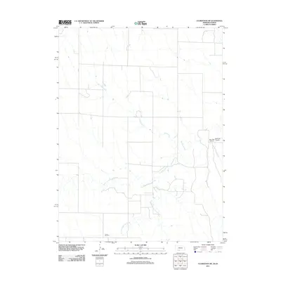
2011 Map of Culbertson SW
USGS Topo · Published 2011About this map
Cornell Cemetery stands as a quiet landmark near the southern boundary of this Rawlins County landscape, offering a point of interest for genealogists and local historians tracking family roots in the High Plains. The terrain is defined by a dendritic network of seasonal waterways, primarily the winding course of Willow Creek and the branching segments of Driftwood Creek. To the north and south, the North Fork Driftwood Creek and South Fork Driftwood Creek carve through the agricultural tableland, creating subtle relief in an otherwise expansive plains environment. The eastern edge of the map features distinct topographical depressions at Burr Oak Canyon and East Oak Canyon, where the land drops away from the surrounding fields. Local transit is facilitated by a grid of rural routes, including Co RD and RD 708, which connect isolated farmsteads and manage the agricultural rhythm of this border region near the Kansas-Nebraska line.
Find a feature on this map
9 named features on this map. Tap any name to fly to it.
Don’t see what you’re looking for? This feature index may not catch every label — zoom into the map to look around manually.
Map Details
Editions of this 2011 Culbertson SW Map
This is the sole edition of this map. No revisions or reprints were ever made.
Other maps of this area

1951 · Herndon
USGS Topo · 1:62,500

1951 · Atwood
USGS Topo · 1:62,500

1954 · McCook
USGS Topo · 1:250,000

1954 · Goodland
USGS Topo · 1:250,000

1956 · Goodland
USGS Topo · 1:250,000

1957 · McCook
USGS Topo · 1:250,000

1957 · Goodland
USGS Topo · 1:250,000

1958 · McCook
USGS Topo · 1:250,000

1962 · Trenton
USGS Topo · 1:24,000

1962 · Culbertson NW
USGS Topo · 1:24,000