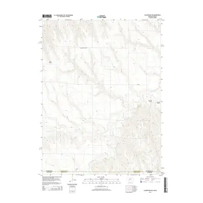
2014 Map of Culbertson SW
USGS Topo · Published 2014About this map
The Nebraska-Kansas state line bisects this 2014 survey, where the high plains of Hitchcock County and Rawlins County are defined by a complex network of seasonal drainage. The hydrology of the region is centered on the various branches of the Driftwood Cr system, including the N Fork Driftwood Cr and S Fork Driftwood Cr. This landscape is deeply carved by numerous canyons, most notably Thompson Canyon and Big Canyon in the northwest, which illustrate the erosional patterns typical of this semi-arid borderland.
Find a feature on this map
12 named features on this map. Tap any name to fly to it.
Don’t see what you’re looking for? This feature index may not catch every label — zoom into the map to look around manually.
Map Details
Editions of this 2014 Culbertson SW Map
This is the sole edition of this map. No revisions or reprints were ever made.
Other maps of this area

1951 · Herndon
USGS Topo · 1:62,500

1951 · Atwood
USGS Topo · 1:62,500

1954 · McCook
USGS Topo · 1:250,000

1954 · Goodland
USGS Topo · 1:250,000

1956 · Goodland
USGS Topo · 1:250,000

1957 · McCook
USGS Topo · 1:250,000

1957 · Goodland
USGS Topo · 1:250,000

1958 · McCook
USGS Topo · 1:250,000

1962 · Trenton
USGS Topo · 1:24,000

1962 · Culbertson NW
USGS Topo · 1:24,000