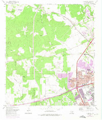
1966 Map of Culebra Hill
USGS Topo · Published 1975About this map
Lackland Air Force Base and the adjacent Medina Base anchor the southeastern corner of this landscape, reflecting the military expansion into western Bexar County during the mid-20th century. Suburban residential growth is evident in the cluster of developments such as Lackland Terrace, Westwood Village, and Lackland City, which are supported by numerous educational institutions including John Jay High Sch and Mary Hull Sch. In contrast to this urbanizing eastern edge, the western portion of the map remains defined by the winding paths of Potranca Creek and Medio Creek and the high ground of Culebra Hill. Genealogists and local historians will note the Sociedad Cem and the Cordi Marian Villa Convent and Chapel, preserving the religious and community foundations of the area before modern residential street grids like those in Leon Valley fully took hold.
Find a feature on this map
45 named features on this map. Tap any name to fly to it.
Don’t see what you’re looking for? This feature index may not catch every label — zoom into the map to look around manually.
Map Details
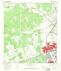
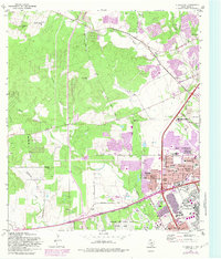
Editions of this 1966 Culebra Hill Map
Other maps of this area

1953 · Culebra Hill
USGS Topo · 1:24,000

1953 · San Antonio West
USGS Topo · 1:24,000

1953 · Terrell Wells
USGS Topo · 1:24,000

1953 · Macdona
USGS Topo · 1:24,000

1953 · Helotes
USGS Topo · 1:24,000

1953 · Castle Hills
USGS Topo · 1:24,000

1954 · San Antonio
USGS Topo · 1:250,000

1956 · Medina Lake
USGS Topo · 1:62,500

1957 · San Antonio
USGS Topo · 1:250,000

1958 · La Coste
USGS Topo · 1:24,000