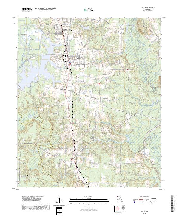
2024 Map of Cullen
USGS Topo · Published 2024About this map
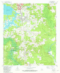
Springhill and Cullen anchor the northern reaches of this north Louisiana corridor, where the town centers give way to a landscape defined by family-named cemeteries and the winding course of Bodcau Creek. The topography transitions from the populated areas around Porterville and Sarepta into the low-lying wetlands of the Webster Parish and Bossier Parish border. This area is notably dense with burial sites that trace the region's genealogical history, including the Old Sarepta Church Cem and Slack Memorial Cem.
Find a feature on this map
79 named features on this map. Tap any name to fly to it.
Don’t see what you’re looking for? This feature index may not catch every label — zoom into the map to look around manually.
Map Details
Editions of this 2024 Cullen Map
This is the sole edition of this map. No revisions or reprints were ever made.