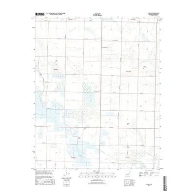
2017 Map of Culler
USGS Topo · Published 2017About this map
Bayou Meto meanders through this portion of the Arkansas Grand Prairie, defining a landscape of low-lying wetlands and managed waterways. In the early 21st century, the area around Culler shows the complex intersection of natural drainage and human engineering, where Big Ditch and several named bridges, including James Bridge, Perry Bridge, and Roe Bridge, facilitate movement across the saturated terrain. The map captures a largely agricultural expanse divided into distinct topographic zones such as Long Prairie and Buffalo Flat. For genealogists, the placement of the Legate Cem and Robinson Cem provides specific points of interest for family history research. The detailed network of county roads, such as Button Willow Rd and Moery Rd, reveals the enduring grid system that supports the region's rural economy and land use patterns.
Find a feature on this map
41 named features on this map. Tap any name to fly to it.
Don’t see what you’re looking for? This feature index may not catch every label — zoom into the map to look around manually.
Map Details
Editions of this 2017 Culler Map
This is the sole edition of this map. No revisions or reprints were ever made.
Other maps of this area

1935 · Hazen
USGS Topo · 1:62,500

1937 · Stuttgart
USGS Topo · 1:62,500

1937 · England
USGS Topo · 1:48,000

1939 · Stuttgart
USGS Topo · 1:62,500

1940 · Lonoke
USGS Topo · 1:62,500

1941 · Hazen
USGS Topo · 1:62,500

1943 · England
USGS Topo · 1:62,500

1948 · Helena
USGS Topo · 1:250,000

1949 · Lonoke
USGS Topo · 1:62,500

1950 · Helena
USGS Topo · 1:250,000