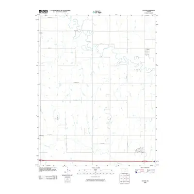
2009 Map of Culver
USGS Topo · Published 2009About this map
Culver serves as the primary population center of this Central Kansas landscape, where the meandering Saline River cuts a complex path through the northern plains. The map illustrates a strictly organized section-line road network, with routes like W Satanta Rd and N Brookville Rd defining the agrarian grid. For local historians and genealogists, Franklin Cemetery stands as a significant landmark in the northwest, while the settlement of Glendale appears to the southwest near the banks of Mulberry Creek. The interplay between the rigid township grid and the natural wandering of the river and its tributaries, such as Shaw Creek, highlights the persistent challenge of adapting agricultural infrastructure to the erratic drainage patterns of the Kansas prairie.
Find a feature on this map
31 named features on this map. Tap any name to fly to it.
Don’t see what you’re looking for? This feature index may not catch every label — zoom into the map to look around manually.
Map Details
Editions of this 2009 Culver Map
This is the sole edition of this map. No revisions or reprints were ever made.
Other maps of this area

1892 · Salina
USGS Topo · 1:125,000

1892 · Minneapolis
USGS Topo · 1:125,000

1942 · Salina
USGS Topo · 1:125,000

1955 · Salina SW
USGS Topo · 1:24,000

1955 · Trenton
USGS Topo · 1:24,000

1955 · Brookville
USGS Topo · 1:24,000

1955 · Culver
USGS Topo · 1:24,000

1955 · Manhattan
USGS Topo · 1:250,000

1955 · Hutchinson
USGS Topo · 1:250,000

1956 · Manhattan
USGS Topo · 1:250,000