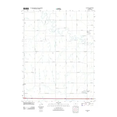
2012 Map of Culver
USGS Topo · Published 2012About this map
The Saline River meanders across the northern half of this Kansas landscape, carving a winding path through the plains near Culver. This 2012 survey illustrates a region defined by its watercourses and a strict section-line road grid. Small drainages like Table Rock Cr and Shaw Cr feed into the river system, while Mulberry Cr and Eff Cr traverse the southern reaches of the quadrangle. Settlement is concentrated at the town of Culver and the smaller community of Glendale, with the rural interior dotted by family-named routes such as Lockard Rd and Glendale Rd. Local history is anchored by the Franklin Cem in the northwest, providing a fixed point for genealogical research in this agrarian territory. Modern land use is also evident at the Sundowner West Recreational Vehicle Park near the southern boundary.
Find a feature on this map
43 named features on this map. Tap any name to fly to it.
Don’t see what you’re looking for? This feature index may not catch every label — zoom into the map to look around manually.
Map Details
Editions of this 2012 Culver Map
This is the sole edition of this map. No revisions or reprints were ever made.
Other maps of this area

1892 · Salina
USGS Topo · 1:125,000

1892 · Minneapolis
USGS Topo · 1:125,000

1942 · Salina
USGS Topo · 1:125,000

1955 · Salina SW
USGS Topo · 1:24,000

1955 · Trenton
USGS Topo · 1:24,000

1955 · Brookville
USGS Topo · 1:24,000

1955 · Culver
USGS Topo · 1:24,000

1955 · Manhattan
USGS Topo · 1:250,000

1955 · Hutchinson
USGS Topo · 1:250,000

1956 · Manhattan
USGS Topo · 1:250,000