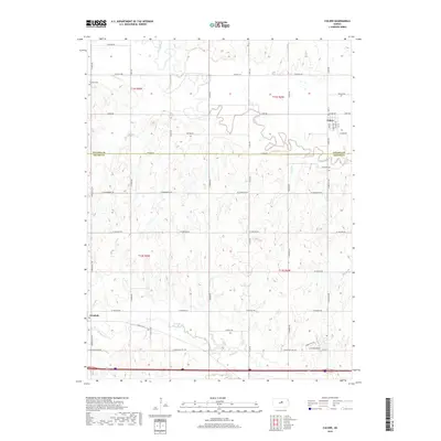
2018 Map of Culver
USGS Topo · Published 2018About this map
The Saline River winds through the northern landscape of this Kansas region, creating a complex network of meanders and oxbows as it crosses the Ottawa Co and Saline Co boundary. The small community of Culver is situated in the northeast, defined by a grid of streets including Main St and Kansas Ave. To the southwest, the settlement of Glendale sits near the banks of Mulberry Cr, illustrating the historical pattern of town placement along essential water sources in the central plains.
Find a feature on this map
49 named features on this map. Tap any name to fly to it.
Don’t see what you’re looking for? This feature index may not catch every label — zoom into the map to look around manually.
Map Details
Editions of this 2018 Culver Map
This is the sole edition of this map. No revisions or reprints were ever made.
Other maps of this area

1892 · Salina
USGS Topo · 1:125,000

1892 · Minneapolis
USGS Topo · 1:125,000

1942 · Salina
USGS Topo · 1:125,000

1955 · Salina SW
USGS Topo · 1:24,000

1955 · Trenton
USGS Topo · 1:24,000

1955 · Brookville
USGS Topo · 1:24,000

1955 · Culver
USGS Topo · 1:24,000

1955 · Manhattan
USGS Topo · 1:250,000

1955 · Hutchinson
USGS Topo · 1:250,000

1956 · Manhattan
USGS Topo · 1:250,000