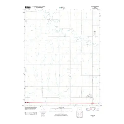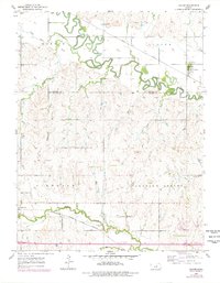
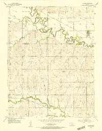
1955 Map of Culver
USGS Topo · Published 1978About this map
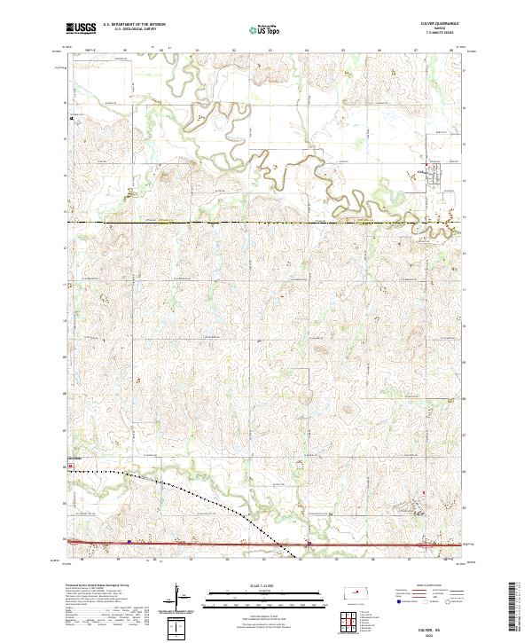
The Saline River meanders sharply across this mid-century landscape, defining the northern geography of the region near the border of Ottawa and Saline Counties. In the northeast, the town of Culver sits along the Union Pacific tracks, while the community of Glendale occupies the southwestern corner near the Atchison Topeka and Santa Fe railroad. These two rail lines cut across the quadrangle, illustrating the importance of transport to the rural Kansas economy at the time of the original 1955 field check. Local history markers such as Tripp Sch, Franklin Cem, and the landmark known as Table Rock provide specific points of interest for genealogists. The map also shows secondary watercourses like Mulberry Creek and Rock Creek, alongside smaller rural features like a Windmill and a localized Trailer Park near the southern edge.
Find a feature on this map
23 named features on this map. Tap any name to fly to it.
Don’t see what you’re looking for? This feature index may not catch every label — zoom into the map to look around manually.
Map Details
Editions of this 1955 Culver Map
2 editions found
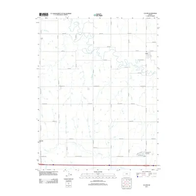
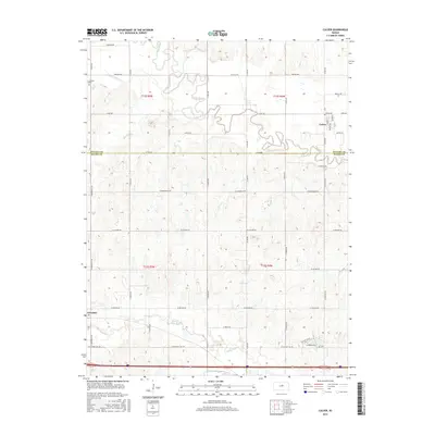
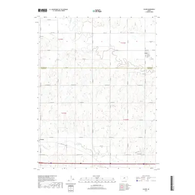
Historical Maps of Culver Through Time
6 maps found