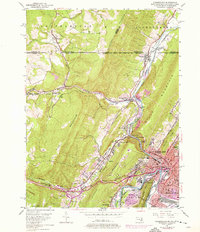
1949 Map of Cumberland
USGS Topo · Published 1976About this map
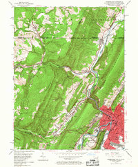
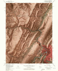
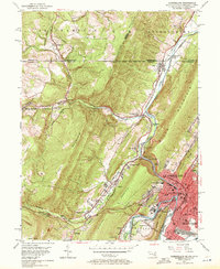
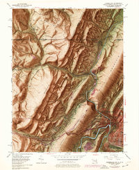
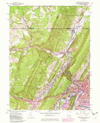
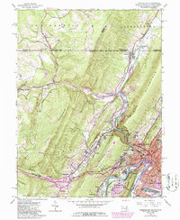
Cumberland sits at a critical junction of mountains and waterways where the Potomac River meets Wills Creek. This mid-century survey captures the industrial and transit character of the region, anchored by a dense network of railroads including the Baltimore and Ohio, Western Maryland, and Penn Central. The landscape is defined by the steep ridgelines of Wills Mountain and Haystack Mountain, famously breached by the water gap known as The Narrows. North of the city, small coal-country settlements like Wellersburg and Mount Savage are linked by winding creeks and rail spurs. The map documents the city's growth toward South Cumberland and Ridgeley, while also showing the rugged rural fringe marked by a Strip Mine on Allegheny Mountain and the enduring line of the historic National Pike.
Find a feature on this map
74 named features on this map. Tap any name to fly to it.
Don’t see what you’re looking for? This feature index may not catch every label — zoom into the map to look around manually.
Map Details
Editions of this 1949 Cumberland Map
10 editions found
Other maps of this area

1898 · Frostburg
USGS Topo · 1:62,500

1899 · Flintstone
USGS Topo · 1:62,500

1900 · Flintstone
USGS Topo · 1:62,500

1901 · Frostburg
USGS Topo · 1:62,500

1908 · Frostburg
USGS Topo · 1:62,500

1923 · Berlin
USGS Topo · 1:48,000

1927 · Hyndman
USGS Topo · 1:62,500

1929 · Berlin
USGS Topo · 1:62,500

1931 · Hyndman
USGS Topo · 1:62,500

1944 · Hyndman
USGS Topo · 1:62,500