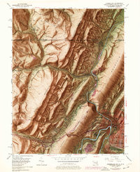
1949 Map of Cumberland
USGS Topo · Published 1976About this map
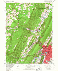
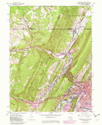
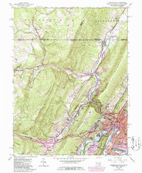
Cumberland serves as the focal point of this 1949 survey, where the Wills Creek gorge cuts through the dramatic gap known as The Narrows. This geographical bottleneck concentrated the era's primary transportation routes, including the National Pike and multiple rail lines like the Baltimore and Ohio and Western Maryland. The map illustrates a landscape shaped by industrial transit and coal, with a Strip Mine on Southampton and rail junctions like Mt Savage Junc and Eckhart Junc facilitating movement between the mountains. Beyond the urban center, smaller communities like Mount Savage, Ellerslie, and Ridgeley are documented at a time when the North Branch Potomac River defined the state boundary with West Virginia. For genealogists, the map captures specific landmarks including St Patricks Cem and Sixmile House, alongside neighborhood schools such as Allegany High Sch and the Southside Sch.
Find a feature on this map
73 named features on this map. Tap any name to fly to it.
Don’t see what you’re looking for? This feature index may not catch every label — zoom into the map to look around manually.
Map Details
Editions of this 1949 Cumberland Map
10 editions found
Other maps of this area

1898 · Frostburg
USGS Topo · 1:62,500

1899 · Flintstone
USGS Topo · 1:62,500

1900 · Flintstone
USGS Topo · 1:62,500

1901 · Frostburg
USGS Topo · 1:62,500

1908 · Frostburg
USGS Topo · 1:62,500

1923 · Berlin
USGS Topo · 1:48,000

1927 · Hyndman
USGS Topo · 1:62,500

1929 · Berlin
USGS Topo · 1:62,500

1931 · Hyndman
USGS Topo · 1:62,500

1944 · Hyndman
USGS Topo · 1:62,500