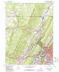
1949 Map of Cumberland
USGS Topo · Published 1986About this map
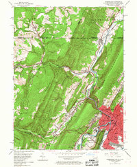
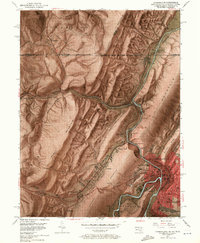
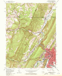
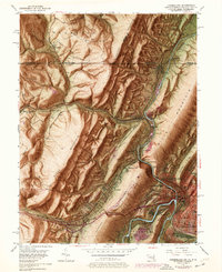
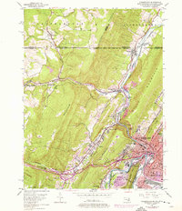
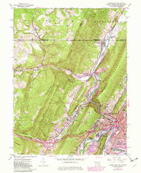
Cumberland and its surrounding mountain gaps serve as a primary transportation hub where the Potomac River meets the C & O Canal. This mid-century survey documents a landscape defined by the convergence of major transit routes, including the National Pike and the historic Braddock Road. The map tracks the passage of the Western Maryland Railroad and Baltimore and Ohio Railroad through the narrow gap of The Narrows, squeezed between Wills Mountain and Haystack Mountain. Beyond the city center, small communities like Ellerslie and Mount Savage dot the valleys, while the Mason and Dixon Line defines the northern boundary with Pennsylvania. Local landmarks such as the Courthouse, Allegany High School, and St. Patricks Cemetery provide essential points of reference for genealogists and local historians.
Find a feature on this map
62 named features on this map. Tap any name to fly to it.
Don’t see what you’re looking for? This feature index may not catch every label — zoom into the map to look around manually.
Map Details
Editions of this 1949 Cumberland Map
10 editions found
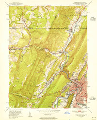
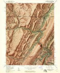
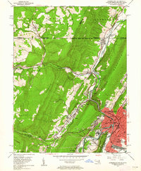
Other maps of this area

1898 · Frostburg
USGS Topo · 1:62,500

1899 · Flintstone
USGS Topo · 1:62,500

1900 · Flintstone
USGS Topo · 1:62,500

1901 · Frostburg
USGS Topo · 1:62,500

1908 · Frostburg
USGS Topo · 1:62,500

1923 · Berlin
USGS Topo · 1:48,000

1927 · Hyndman
USGS Topo · 1:62,500

1929 · Berlin
USGS Topo · 1:62,500

1931 · Hyndman
USGS Topo · 1:62,500

1944 · Hyndman
USGS Topo · 1:62,500