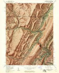
1949 Map of Cumberland
USGS Topo · Published 1961About this map
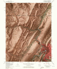
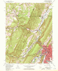
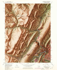
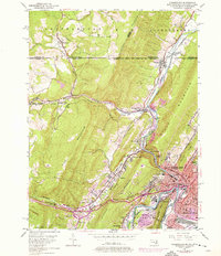
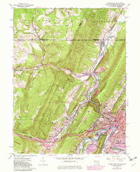
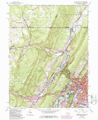
Cumberland serves as the industrial and logistical hub for this 1949 survey, where the Potomac River and Wills Creek meet at the base of Wills Mountain. The landscape is defined by the dramatic water gap known as The Narrows, a critical passage for both road and rail. The region's transport importance is underscored by the convergence of the Baltimore and Ohio Railroad, Western Maryland Railway, and the historic Braddock Road.
Find a feature on this map
58 named features on this map. Tap any name to fly to it.
Don’t see what you’re looking for? This feature index may not catch every label — zoom into the map to look around manually.
Map Details
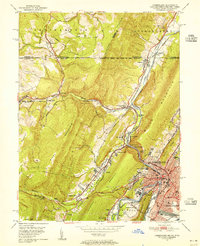
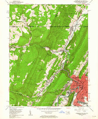
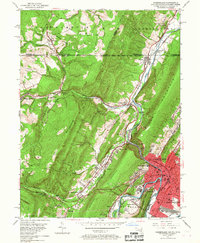
Editions of this 1949 Cumberland Map
10 editions found
Other maps of this area

1898 · Frostburg
USGS Topo · 1:62,500

1899 · Flintstone
USGS Topo · 1:62,500

1900 · Flintstone
USGS Topo · 1:62,500

1901 · Frostburg
USGS Topo · 1:62,500

1908 · Frostburg
USGS Topo · 1:62,500

1923 · Berlin
USGS Topo · 1:48,000

1927 · Hyndman
USGS Topo · 1:62,500

1929 · Berlin
USGS Topo · 1:62,500

1931 · Hyndman
USGS Topo · 1:62,500

1944 · Hyndman
USGS Topo · 1:62,500