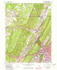
1949 Map of Cumberland
USGS Topo · Published 1982About this map
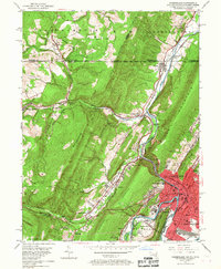
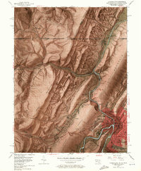
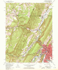
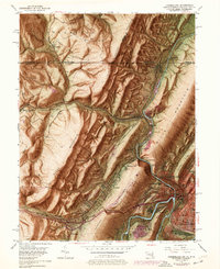
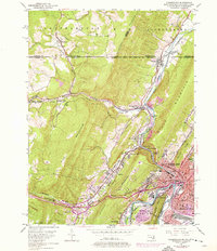
The Potomac River and Wills Creek define the transit corridors of this mid-century industrial hub, where multiple rail lines converge beneath the steep slopes of Wills Mountain. Industrial activity is evident in the strip mines dotting the northern ridges near Wellersburg and Barrelville. The map illustrates a landscape shaped by transportation, from the historic National Pike winding past Braddock Hill to the complex junctions of the Baltimore and Ohio Railroad and Western Maryland Railroad. Settlement patterns follow the narrow valley floors, connecting communities like Corriganville, Mt Savage Junction, and Ellerslie along the winding creek beds. In Cumberland, the presence of the Courthouse, Memorial Hospital, and Allegany High School marks the city's role as a regional center of governance and commerce just after the post-war expansion.
Find a feature on this map
59 named features on this map. Tap any name to fly to it.
Don’t see what you’re looking for? This feature index may not catch every label — zoom into the map to look around manually.
Map Details
Editions of this 1949 Cumberland Map
10 editions found
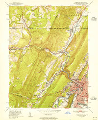
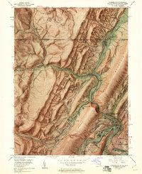
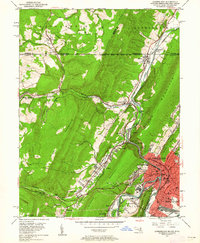
Other maps of this area

1898 · Frostburg
USGS Topo · 1:62,500

1899 · Flintstone
USGS Topo · 1:62,500

1900 · Flintstone
USGS Topo · 1:62,500

1901 · Frostburg
USGS Topo · 1:62,500

1908 · Frostburg
USGS Topo · 1:62,500

1923 · Berlin
USGS Topo · 1:48,000

1927 · Hyndman
USGS Topo · 1:62,500

1929 · Berlin
USGS Topo · 1:62,500

1931 · Hyndman
USGS Topo · 1:62,500

1944 · Hyndman
USGS Topo · 1:62,500