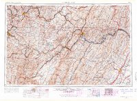
1956 Map of Cumberland
USGS Topo · Published 1966About this map
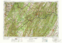
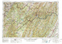
Cumberland serves as the central hub of this mid-century survey, where the winding Potomac River and the Baltimore & Ohio RR navigate the complex ridges of the Allegheny Mountains. The map illustrates a region defined by its industrial transit corridors and expansive public lands, stretching from the coal and glass centers of Morgantown and Uniontown in the west to the apple orchards surrounding Winchester in the southeast. High-altitude recreation and conservation are prominent, with Deep Creek Lake and Blackwater Falls State Park providing significant landmarks within the dense timber of the Monongahela National Forest.
Find a feature on this map
97 named features on this map. Tap any name to fly to it.
Don’t see what you’re looking for? This feature index may not catch every label — zoom into the map to look around manually.
Map Details
Editions of this 1956 Cumberland Map
6 editions found
Other maps of this area

1884 · Harpers Ferry
USGS Topo · 1:125,000

1886 · St. George
USGS Topo · 1:125,000

1889 · Beverly
USGS Topo · 1:125,000

1891 · Harpers Ferry
USGS Topo · 1:125,000

1891 · St. George
USGS Topo · 1:125,000

1891 · Romney
USGS Topo · 1:125,000

1892 · Beverly
USGS Topo · 1:125,000

1892 · Franklin
USGS Topo · 1:125,000

1892 · Woodstock
USGS Topo · 1:125,000

1893 · Buckhannon
USGS Topo · 1:125,000